| Tlstá | |
|---|---|
.jpg.webp) Tlstá (left) and Ostrá (right) mountains | |
| Highest point | |
| Elevation | 1,373.3 m (4,506 ft) |
| Coordinates | 48°56′28″N 19°05′22″E / 48.94111°N 19.08944°E |
| Naming | |
| Etymology | fat in Slovak |
| Geography | |
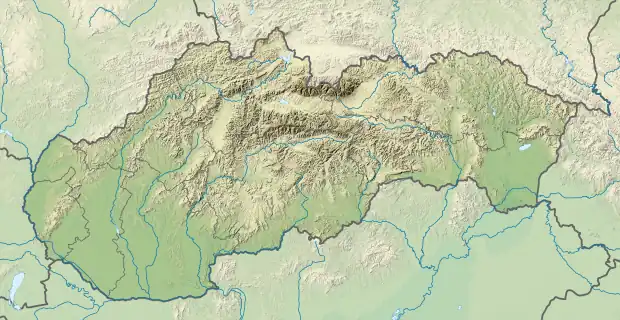
 Tlstá Location in Slovakia | |
| Location | Martin, Žilina, Slovakia |
| Parent range | Greater Fatra |
| Geology | |
| Mountain type | limestone and dolomite |
Tlstá (meaning fat in Slovak) is a mountain in the Bralná Fatra part of the Greater Fatra Range, measuring 1,373.3 m (4,506 ft). It is located over the Turiec Valley, rising steeply nearly 1,000 m (3,300 ft) above the valley bottom. It has rugged slopes with many rock spires and rock terraces under the grass-covered summit. With its well-preserved forests, rare plants and many karst caves in the massif, the mountain and its surrounding area were declared a National Nature Reserve in 1981, covering an area of 30.66 km2 (11.84 sq mi). Together with the opposite Ostrá Mountain and Gader Valley beneath them, they create one of the most valuable and picturesque parts of the Greater Fatra Range.
References
- Brandos, Otakar (2004). Veľká Fatra, Šípska Fatra. Ostrava: SKY. ISBN 80-86774-02-3.
- VKÚ Harmanec (2003). Veľká Fatra. Edícia turistických máp 1:50000. Harmanec: VKÚ. ISBN 80-8042-044-0.
This article is issued from Wikipedia. The text is licensed under Creative Commons - Attribution - Sharealike. Additional terms may apply for the media files.