| Topuni River | |
|---|---|
Route of the Topuni River | |
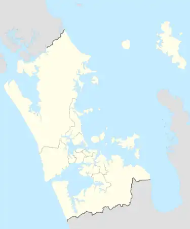 Mouth of the Topuni River 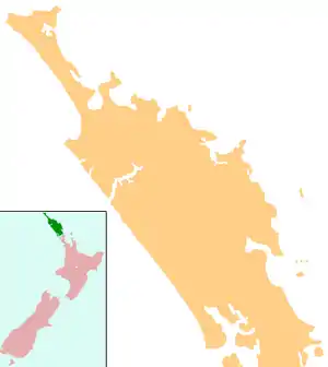 Topuni River (Northland Region) 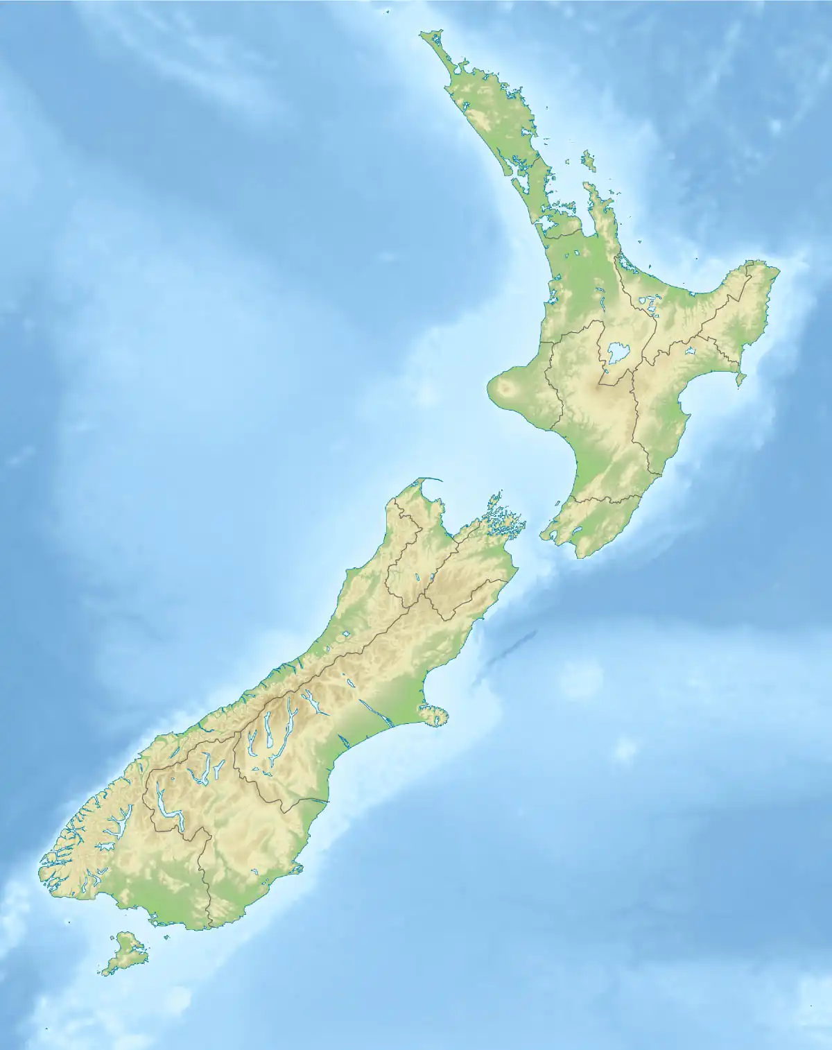 Topuni River (New Zealand) | |
| Location | |
| Country | New Zealand |
| Region | Northland Region, Auckland Region |
| Physical characteristics | |
| Source | Hakaru River |
| • coordinates | 36°12′39″S 174°28′59″E / 36.2107°S 174.4831°E |
| Mouth | Oruawharo River |
• coordinates | 36°15′28″S 174°28′12″E / 36.2578°S 174.47°E |
| Length | 12 km (7.5 mi) |
| Basin features | |
| Progression | Topuni River → Oruawharo River → Kaipara Harbour → Tasman Sea |
The Topuni River is a river in the upper North Island of New Zealand. From its source on the Hakaru River, it flows generally south, with most of its length being through a drowned valley in the northeast of the Kaipara Harbour system. The estuarine section of the river forms a part of the border between the Kaipara District of the Northland Region and the Rodney local board area of the Auckland Region. The Topuni River flows into Oruawharo River — an arm of the Kaipara — 10 kilometres northwest of Wellsford.
See also
References
"Place name detail: Topuni River". New Zealand Gazetteer. New Zealand Geographic Board. Retrieved 12 July 2009.
This article is issued from Wikipedia. The text is licensed under Creative Commons - Attribution - Sharealike. Additional terms may apply for the media files.