| Litlkorsnestinden | |
|---|---|
| Trakta | |
 | |
| Highest point | |
| Elevation | 980 m (3,220 ft)[1] |
| Coordinates | 68°20′11″N 14°53′03″E / 68.3364°N 14.8842°E[2] |
| Geography | |
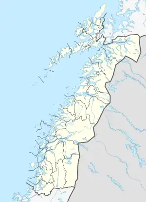
 Litlkorsnestinden Location of the mountain  Litlkorsnestinden Litlkorsnestinden (Norway) | |
| Location | Nordland, Norway |
| Parent range | Lofoten |
| Climbing | |
| First ascent | 3 August 1910: Bryn, Schjelderup and Rubenson.[1] |
Litlkorsnestinden,[3] or Trakta (English: The Funnel), is a mountain in Hadsel Municipality in Nordland county, Norway. The 980-metre (3,220 ft) tall mountain lies on the island of Austvågøya in the Lofoten archipelago, just north of the Trollfjorden. The summit is the most difficult to reach in Norway, and requires climbing up to grade 6-. (NOR). It was first ascended in 1910 by Alf Bonnevie Bryn, Ferdinand Schjelderup and Carl Wilhelm Rubenson.[1]
References
- 1 2 3 Webster, Ed (1994). Climbing in the Magic Islands. A climbing and hiking guidebook to the Lofoten Islands of Norway. Henningsvær: Nord Norsk Klatreskole. pp. 238–243.
- ↑ "Litlkorsnestinden, Hadsel (Nordland)" (in Norwegian). yr.no. Retrieved 2018-06-17.
- ↑ "Stadnamn og skrivemåten for stadnamn" (in Norwegian). Kartverket. Retrieved 2018-12-20.
This article is issued from Wikipedia. The text is licensed under Creative Commons - Attribution - Sharealike. Additional terms may apply for the media files.