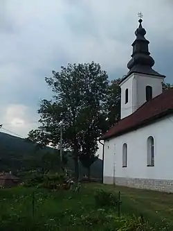
Ubľa | |
|---|---|
Municipality | |
 | |
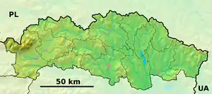 Ubľa Location of Ubľa in the Prešov Region 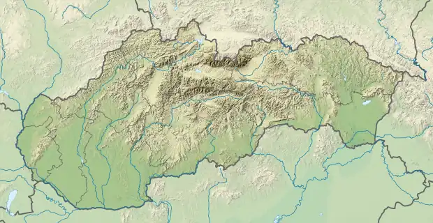 Ubľa Location of Ubľa in Slovakia | |
| Coordinates: 48°53′N 22°23′E / 48.883°N 22.383°E | |
| Country | |
| Region | Prešov |
| District | Snina |
| First mentioned | 1567 |
| Area | |
| • Total | 29.00[1] km2 (11.20[1] sq mi) |
| Elevation | 223[2] m (732[2] ft) |
| Population (2021) | |
| • Total | 787[3] |
| Time zone | UTC+1 (CET) |
| • Summer (DST) | UTC+2 (CEST) |
| Postal code | 067 73[2] |
| Area code | +421 57[2] |
| Car plate | SV |
| Website | www |
Ubľa is a border village and municipality in Snina District in the Prešov Region of north-eastern Slovakia on the border with Ukraine.
History
In historical records the village was first mentioned in 1567.
Geography
The municipality lies at an altitude of 224 metres and covers an area of 29.144 km2. According to the 2013 census it had a population of 796 inhabitants.
References
- 1 2 "Hustota obyvateľstva - obce [om7014rr_ukaz: Rozloha (Štvorcový meter)]". www.statistics.sk (in Slovak). Statistical Office of the Slovak Republic. 2022-03-31. Retrieved 2022-03-31.
- 1 2 3 4 "Základná charakteristika". www.statistics.sk (in Slovak). Statistical Office of the Slovak Republic. 2015-04-17. Retrieved 2022-03-31.
- ↑ "Počet obyvateľov podľa pohlavia - obce (ročne)". www.statistics.sk (in Slovak). Statistical Office of the Slovak Republic. 2022-03-31. Retrieved 2022-03-31.
External links
 Media related to Ubľa at Wikimedia Commons
- Official website

- http://www.statistics.sk/mosmis/eng/run.html
This article is issued from Wikipedia. The text is licensed under Creative Commons - Attribution - Sharealike. Additional terms may apply for the media files.