| Wassi Kussa River Chester River | |
|---|---|
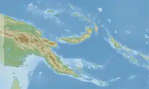 Location within Papua New Guinea | |
| Location | |
| Country | |
| Region | Western Province |
| Physical characteristics | |
| Source | |
| • location | Papua New Guinea |
| Mouth | Arafura Sea |
• coordinates | 9°10′04″S 142°03′01″E / 9.16787°S 142.05036°E |
| Length | 33 km (21 mi) |
| Basin size | 1,551.7 km2 (599.1 sq mi) |
| Discharge | |
| • location | Near mouth |
| • average | 46.6 m3/s (1,650 cu ft/s) |
The Wassi Kussa River is a river in southwestern Papua New Guinea.[1][2]
See also
References
- ↑ Wassi Kussa River in Geonames.org (cc-by); post updated 2012-01-17; database downloaded 2015-06-22
- ↑ "HOTOSM Papua New Guinea Waterways (OpenStreetMap Export)". Humanitarian Data Exchange. 1.31.9. Retrieved 5 June 2019.
This article is issued from Wikipedia. The text is licensed under Creative Commons - Attribution - Sharealike. Additional terms may apply for the media files.