Willige Langerak | |
|---|---|
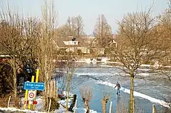
 The ice rink of Willige Langerak | |
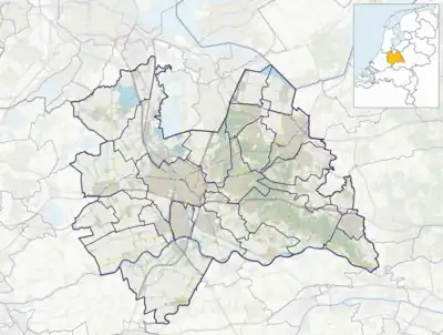
 Willige Langerak Location in the Netherlands  Willige Langerak Willige Langerak (Netherlands) | |
| Coordinates: 51°56′31″N 4°53′1″E / 51.94194°N 4.88361°E | |
| Country | Netherlands |
| Province | Utrecht |
| Municipality | Lopik |
| Time zone | UTC+1 (CET) |
| • Summer (DST) | UTC+2 (CEST) |
| Postal code | 3411[1] |
| Dialing code | 0348[1] |
Willige Langerak is a hamlet in the Dutch provinces of South Holland and Utrecht. It is located in the municipalities of Krimpenerwaard and Lopik, just east of Schoonhoven.
Willige Langerak was a separate municipality in the province of Utrecht between 1818 and 1943, when its largest portion was merged with Lopik in the province of Utrecht and a smaller portion (the church and its surroundings) was added to Schoonhoven in South Holland.[2]
It was first mentioned in 1291 as Wilgerkerke, and means willow trees near Langerak.[3] Willige Langerak is not a statistical entity,[4] and the postal authorities have placed it under Lopik.[1] Most of the old village has been annexed by Schoonhoven, and the part in Lopik remains. Willige Langerak has its own place name signs. In 1840, it was home to 437 people. The hamlet in Lopik consists of about 120 houses.[5]
Gallery
 Farm the Wielewaal
 Farm in Willige Langerak
 Former church of Willige Langerak. Now in Schoonhoven
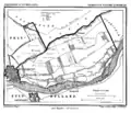
 Willige Langerak in 1865.
References
- 1 2 3 "Postcode 3411 in Lopik". Postcode bij adres (in Dutch). Retrieved 28 March 2022.
- ↑ Ad van der Meer and Onno Boonstra, Repertorium van Nederlandse gemeenten, KNAW, 2011.
- ↑ "Willige Langerak - (geografische naam)". Etymologiebank (in Dutch). Retrieved 28 March 2022.
- ↑ "Kerncijfers wijken en buurten 2021". Central Bureau of Statistics. Retrieved 28 March 2022.
not found
- ↑ "Willige Langerak". Plaatsengids (in Dutch). Retrieved 28 March 2022.