加濟阿巴德
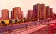
加濟阿巴德[1]是印度北方邦的城市,位於該國北部,距離德里19公里,海拔高度250米,每年平均降雨量797毫米,主要工業有金屬業和電子業,2011年人口1,636,068。
| 加濟阿巴德 Ghaziabad | |
|---|---|
| 城市 | |
| 坐标: 28.67°N 77.42°E | |
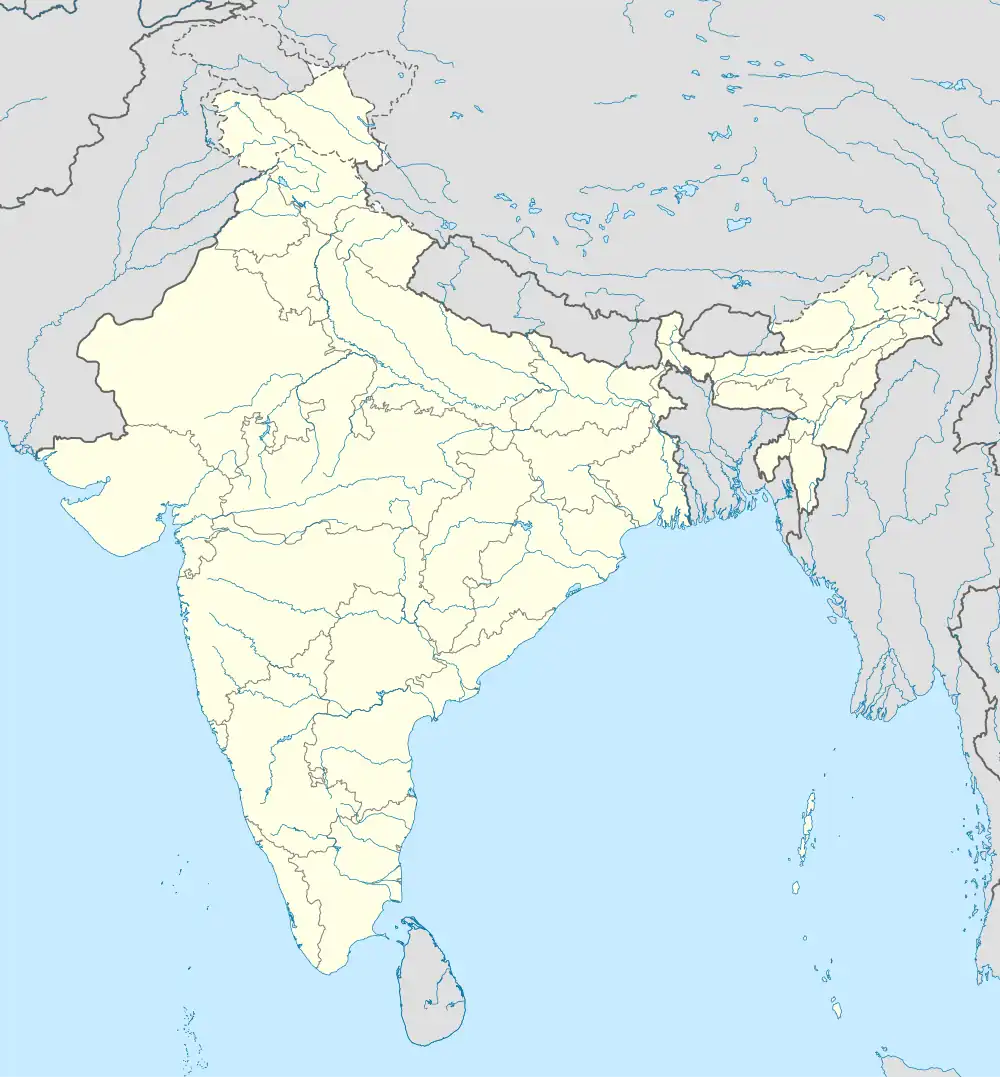
| 國家 | |
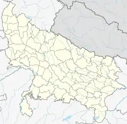
| 邦 | 北方邦 |
| 區 | 密拉特专区 |
| 縣 | 加兹阿巴德县 |
| 面积 | |
| • 总计 | 210 平方公里(80 平方英里) |
| 人口(2011) | |
| • 總計 | 1,729,000人 |
| • 密度 | 8,233人/平方公里(21,324人/平方英里) |
| 語言 | |
| • 官方語言 | 印地語 |
| 时区 | 印度標準時間(UTC+5:30) |
| 電話區號 | 91-120 |
| 網站 | ghaziabad |


参考文献
- 民政部地名研究所 (编). . . 北京: 中国社会出版社: 943. 2017-05. ISBN 978-7-5087-5525-0. OCLC 1121629943. OL 28272719M. NLC 009152391.(简体中文)
外部連結
- https://archive.today/20080410233737/http://www.upw.bsnl.co.in/ghaziabad/gzb.html
- http://www.censusindia.gov.in/2011-prov-results/data_files/up/Census2011UttarPradeshPaper1.pdf(页面存档备份,存于)
- http://www.indianexpress.com/news/ghaziabad-boards-metro-for-first-trafficfree-ride-to-work/817698/
- Official site(页面存档备份,存于)
- City Mayors Survey Link(页面存档备份,存于)
- Uttar Pradesh Assembly Elections
- Ghaziabad Assembly Elections
- Ghaziabad Traffic Police(页面存档备份,存于)
This article is issued from Wikipedia. The text is licensed under Creative Commons - Attribution - Sharealike. Additional terms may apply for the media files.