塔翁吉環礁
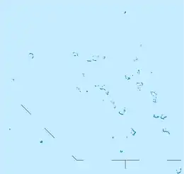
塔翁吉環礁是太平洋由36個島嶼組成的環礁,屬於拉塔克礁鏈的一部分,呈新月形,位於馬朱羅環礁以北684公里、比卡爾環礁東北280公里,是全國最北部和最僻遠的環礁,總土地面積3.2平方公里,中央的潟湖面積78.0平方公里。

塔翁吉環礁衛星圖片
| 塔翁吉環礁 | |
|---|---|
.jpg.webp) | |
| 地理 | |
 塔翁吉環礁 (馬紹爾群島) | |
| 位置 | 太平洋北部 |
| 坐标 | 14°32′N 169°00′E |
| 群岛 | 拉塔克礁鏈 |
| 总岛屿 | 10 |
| 面積 | 49.8平方公里 |
| 最高海拔 | 3米(10英尺) |
| 管轄 | |
| 人口统计 | |
| 人口 | 无人居住 |
外部連結
- UNEP Protected Areas Program Profile
- Atoll Research Bulletin Archive Home Page (页面存档备份,存于)
- U.S. Dept. of Energy OPENnet advanced search page (页面存档备份,存于), (search full text field on string "Taongi").
- Plants in the Marshall Islands, A Photo Essay (页面存档备份,存于)
- Additional papers from DG406, Theories of Governance, Pacific Studies Program, PIAS-DG, University of the South Pacific, Suva, Fiji
- Lost Fishermen still cast shadow... (photos)
- Phantoms, A True Story
This article is issued from Wikipedia. The text is licensed under Creative Commons - Attribution - Sharealike. Additional terms may apply for the media files.