安德烈亞諾夫群島
安德烈亞諾夫群島(英語:Andreanof Islands,阿留申语:Niiĝuĝin tanangis)是阿拉斯加西南部的群島,屬於阿留申群島的一部分。
| Andreanof Islands Niiĝuĝin tanangis 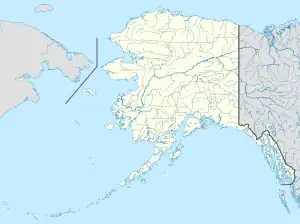 安德烈亞諾夫群島 Coordinates: 51°52′22″N 176°11′44″W | |
|---|---|
| 地理 | |
| 位置 | 太平洋 |
| 总岛屿 | 80 |
| 主要島嶼 | 阿特卡岛、埃達克島 |
| 面積 | 3,924平方英里(10,160平方) |
| 管轄 | |
United States | |
| State | |
| 人口统计 | |
| 人口 | 412(2000) |
| 族群 | 阿留申人 |

安德烈亞諾夫群島
地理
安德烈亞諾夫群島西緣和拉特群島以安奇卡海峽相隔,以東和四山群島以阿穆克塔海峡相隔。島嶼總面積3924平方公里,2000年人口412。島上的地震頻繁,每天發生超過黎克特制3級的地震,第二次世界大戰時島上有數個美軍基地。
安德烈亞諾夫群島中最西側的部分是德拉羅夫群島。較大的島嶼從西向東是盖勒洛伊岛、塔纳加岛、卡納加島、埃達克島、卡加拉斯卡岛、大锡特金岛、阿特卡島、阿米利亞島和塞瓜姆島。
參見
- 1957年安德烈亞諾夫群島大地震
- 2007年安德烈亞諾夫群島地震
參考文獻
- Andreanof Islands: Blocks 1083 thru 1137, Census Tract 1, Aleutians West Census Area, Alaska United States Census Bureau
This article is issued from Wikipedia. The text is licensed under Creative Commons - Attribution - Sharealike. Additional terms may apply for the media files.