普伦茨劳尔贝格
普伦茨劳尔贝格(德語:,德语:[ˌpʁɛnt͡slaʊ̯ɐ ˈbɛʁk] (ⓘ),意为“普伦茨劳的山”)是德国柏林潘科区的一个下属区。普伦茨劳尔贝格原是一个独立的区,2001年以后并入潘科区。
| 普伦茨劳尔贝格 Prenzlauer Berg | |||
|---|---|---|---|
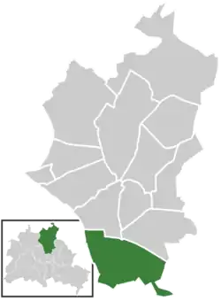
| 潘科区的下属区 | |||
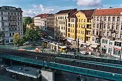
 卡斯塔尼亚大道(Kastanienallee) /申豪森大道(Schönhauser Allee) | |||
| |||
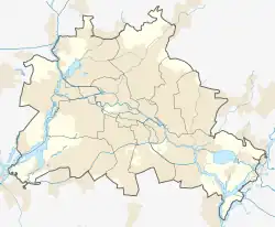
 普伦茨劳尔贝格  普伦茨劳尔贝格 | |||
| 坐标: 52°32′21″N 13°25′27″E | |||
| 國家 | |||
| 城市 | 柏林 | ||
| 城区 | 潘科 | ||
| 面积 | |||
| • 总计 | 10.955 平方公里(4.230 平方英里) | ||
| 海拔 | 91 公尺(299 英尺) | ||
| 人口(2019-06-30) | |||
| • 總計 | 164,593人 | ||
| • 密度 | 15,024人/平方公里(38,913人/平方英里) | ||
| 时区 | CET(UTC+01:00) | ||
| • 夏时制 | CEST(UTC+02:00) | ||
| 邮政编码 | (nr. 0301) 10405, 10407, 10409, 10435, 10437, 10439, 10119, 10247, 10249 | ||
| 车辆号牌 | B | ||
1990年两德统一后该区吸引了另类生活方式的年轻人。

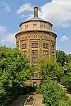
水塔
名胜
- 珂勒惠支广场(Kollwitzplatz)和亥姆霍兹广场(Helmholtzplatz)
- 里克街(Rykestrasse)犹太会堂
- 客西马尼教堂(Gethsemanekirche),前东德抵抗力量聚会地点
- 围墙公园(Mauerpark),建在柏林墙原址上
- 水塔
- 犹太墓地
外部链接
| 维基共享资源中相关的多媒体资源:Prenzlauer Berg |
- Map of Prenzlauer Berg in 1836 Archive.is的存檔,存档日期2012-07-17
- Map of Prenzlauer Berg in 1893
- Map of Prenzlauer Berg in 1961
- Map of Prenzlauer Berg in 1989
- Virtual e-Tour Mauerpark
- Virtual e-Tour Helmholtzplatz
- Private website about life in the "kiez", history and landmarks (including maps and satellite view) (页面存档备份,存于)
- Synagogue in Rykestrasse prior to its present restauration (页面存档备份,存于)
- Photograph of the water tower – Detail 1 (页面存档备份,存于) Detail 2 (页面存档备份,存于)
- BBC article about the baby boom in Prenzlauer berg (页面存档备份,存于)
This article is issued from Wikipedia. The text is licensed under Creative Commons - Attribution - Sharealike. Additional terms may apply for the media files.
_Flag.svg.png.webp)
_COA.svg.png.webp)
