米尔内 (萨马拉州)
米尔内(俄語:,羅馬化:Mirnyy)是俄罗斯萨马拉州的市级镇,属红亚尔区管辖。地处萨马拉州中部,位于区行政中心红亚尔村西偏北侧、州府萨马拉北偏东方。镇以东约7公里处有伏尔加河流域索克河及其支流孔杜尔恰河流经。
| 米尔内 | ||
|---|---|---|
| 市级镇 | ||
.jpg.webp) | ||
| ||
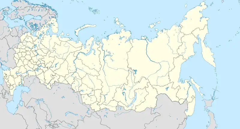
 米尔内 米尔内在俄罗斯的位置 | ||
| 坐标: 53°30′23″N 50°16′35″E | ||
| 国家 | ||
| 联邦主体 | 萨马拉州 | |
| 区 | 红亚尔区 | |
| 人口(2022) | ||
| • 總計 | 7,129人 | |
| 时区 | 萨马拉时间(UTC+4) | |
建于1956年,与当地石油开采有关[1]。该地2022年人口有7,129人[2];2010年人口有7,343人[3];2002年人口有7,451人[4];1989年人口有7,214人[5]。
参考来源
- . riasamara.ru. [2022-07-08]. (原始内容存档于2016-03-05).
- . [2022-06-29]. (原始内容存档于2022-06-11).
- 俄羅斯聯邦國家統計局. [2010 All-Russian Population Census, vol. 1]. Всероссийская перепись населения 2010 года [2010 All-Russia Population Census]. 俄羅斯聯邦國家統計局. 2011 (俄语).
- 俄羅斯聯邦國家統計局. [Population of Russia, Its Federal Districts, Federal Subjects, Districts, Urban Localities, Rural Localities—Administrative Centers, and Rural Localities with Population of Over 3,000] (XLS). Всероссийская перепись населения 2002 года [All-Russia Population Census of 2002]. 2004-05-21 (俄语).
- [All Union Population Census of 1989: Present Population of Union and Autonomous Republics, Autonomous Oblasts and Okrugs, Krais, Oblasts, Districts, Urban Settlements, and Villages Serving as District Administrative Centers]. Всесоюзная перепись населения 1989 года [All-Union Population Census of 1989]. Институт демографии Национального исследовательского университета: Высшая школа экономики [Institute of Demography at the National Research University: Higher School of Economics]. 1989 –Demoscope Weekly (俄语).
This article is issued from Wikipedia. The text is licensed under Creative Commons - Attribution - Sharealike. Additional terms may apply for the media files.
