聖瑪麗亞島
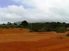
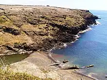
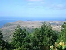
聖瑪麗亞島(葡萄牙語:),是葡萄牙的島嶼,屬於亞速爾群島的一部分,長16.76公里、寬10.29公里,面積97.18平方公里,最高點海拔高度587米,人口6,500,人口密度每平方公里66.89人。

在北大西洋的位置

二战时,葡萄牙政府允许美军在该岛上建立了一个短暂运行的空军基地。[1]
參考資料
- (英文) The Azores Islands, site with abundant information about Santa Maria Island (页面存档备份,存于)
- (英文) Photos of Santa Maria island, Azores
- Norman Herz. . Warfare History Network. [2020-07-14]. (原始内容存档于2021-01-31).
This article is issued from Wikipedia. The text is licensed under Creative Commons - Attribution - Sharealike. Additional terms may apply for the media files.