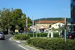
赫爾佩列
赫爾佩列(斯洛維尼亞語: 发音:[xəɾˈpeːljɛ] (ⓘ),原拼為 Herpelje[2])是斯洛文尼亞西部沿海地區赫爾佩列-科濟納區的一個聚居地,也是區政府所在地。[3]
| 赫爾佩列 Hrpelje | |
|---|---|
 | |
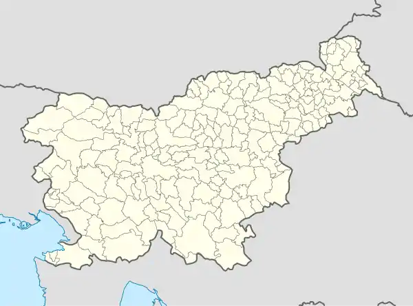 赫爾佩列 Hrpelje 在斯洛維尼亞的位置 | |
| 坐标:45°36′11.24″N 13°56′51.94″E | |
| 國家 | |
| 傳統地區 | 沿海地區 |
| 統計區 | 濱海-喀斯特統計區 |
| 區 | 赫爾佩列-科濟納區 |
| 面积 | |
| • 总计 | 5.42 平方公里(2.09 平方英里) |
| 海拔 | 502 公尺(1,647 英尺) |
| 人口(2002) | |
| • 總計 | 665人 |
| [1] | |
參考文獻
- . [2021-12-07]. (原始内容存档于2008-11-18).
- . Vienna: K. k. Hof- und Staatsdruckerei. 1918: 60.
- Hrpelje-Kozina municipal site 的存檔,存档日期2008-12-18.
- Roman Catholic Diocese of Koper List of Churches May 2008 的存檔,存档日期2009-03-06.
外部連結
 维基共享资源上的相關多媒體資源:赫爾佩列
- Hrpelje on Geopedia (页面存档备份,存于)
This article is issued from Wikipedia. The text is licensed under Creative Commons - Attribution - Sharealike. Additional terms may apply for the media files.