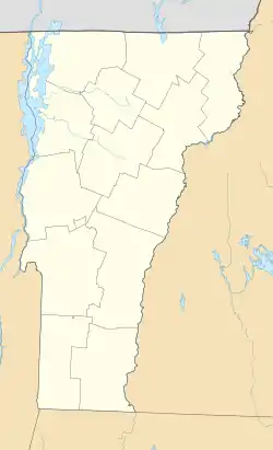
駝峰山 (佛蒙特州)
駝峰山(Camel's Hump,也稱Camels Hump)是美国佛蒙特州绿山山脈中的一座山。山的北坡与威努斯基河接壤,这条河流经过了数万年的绿山山脉。在4,083英尺(1,244) ,它与艾連峰并列佛蒙特州第三高的山峰。駝峰山被10英畝(4公頃)的高山苔原所圍繞。这座也是驼峰州立公园最显着的特征。
| 駝峰山 | |
|---|---|
 駝峰山,攝於2015年10月 | |
| 最高点 | |
| 海拔 | 4,083英尺(1,244) [1] |
| 地形突起度 | 1,860英尺(570) [2] |
| 44°19′10.37″N 72°53′10.78″W | |
| 地理 | |
| 国家 | 美國 |
| 州或邦 | 佛蒙特州 |
| County | 奇滕登县 / 華盛頓縣 |
| Town | Huntington / Duxbury |
| 山脈 | 綠山山脈 |
| 地质 | |
| 岩石年代 | 5.5億年 |
| 攀山 | |
| 最简路线 | 爬山徑 |
| 评定时间 | 1968 |
參考
This article is issued from Wikipedia. The text is licensed under Creative Commons - Attribution - Sharealike. Additional terms may apply for the media files.
