马攸木拉达坂
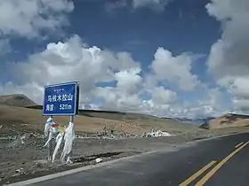
马攸木拉达坂[1] 是位于瑪旁雍錯以东的山口,位于阿里地区普兰县。它是日喀则市和阿里地区的地理分界。
| 马攸木拉达坂 | |
|---|---|
 219國道在马攸木拉达坂 | |
| 海拔 | 5,211(17,096英尺) |
| 穿過 | |
| 位置 | 中国西藏阿里地区普兰县 |
| 山脉 | 冈底斯山脉 , 冈底斯-念青唐古拉山脉, 青藏高原 |
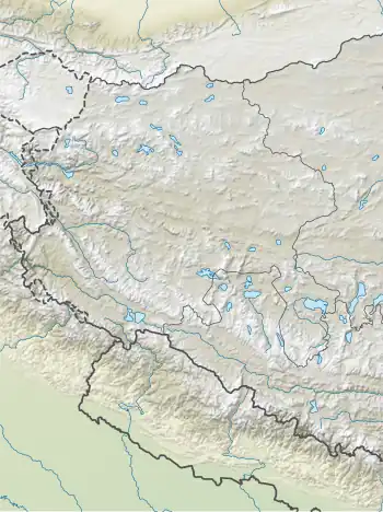
| 坐标 | 30°36′53″N 82°25′38″E |
 马攸木拉 达坂 | |
它也是西藏境內雅鲁藏布江的上游马泉河和朗钦藏布(象泉河)之间的分水岭。也是印度的两个大水系印度河系与布拉马普特拉河系的分水岭。
參考
- Thomas Hungerford Holdich, Tibet, the Mysterious, Asian Educational Services, 1996 - Tibet Autonomous Region (China), p.233, accessed at Google Books (页面存档备份,存于) 2014-09-21
This article is issued from Wikipedia. The text is licensed under Creative Commons - Attribution - Sharealike. Additional terms may apply for the media files.