Ángel Albino Corzo | |
|---|---|
 Municipality of Ángel Albino Corzo in Chiapas | |
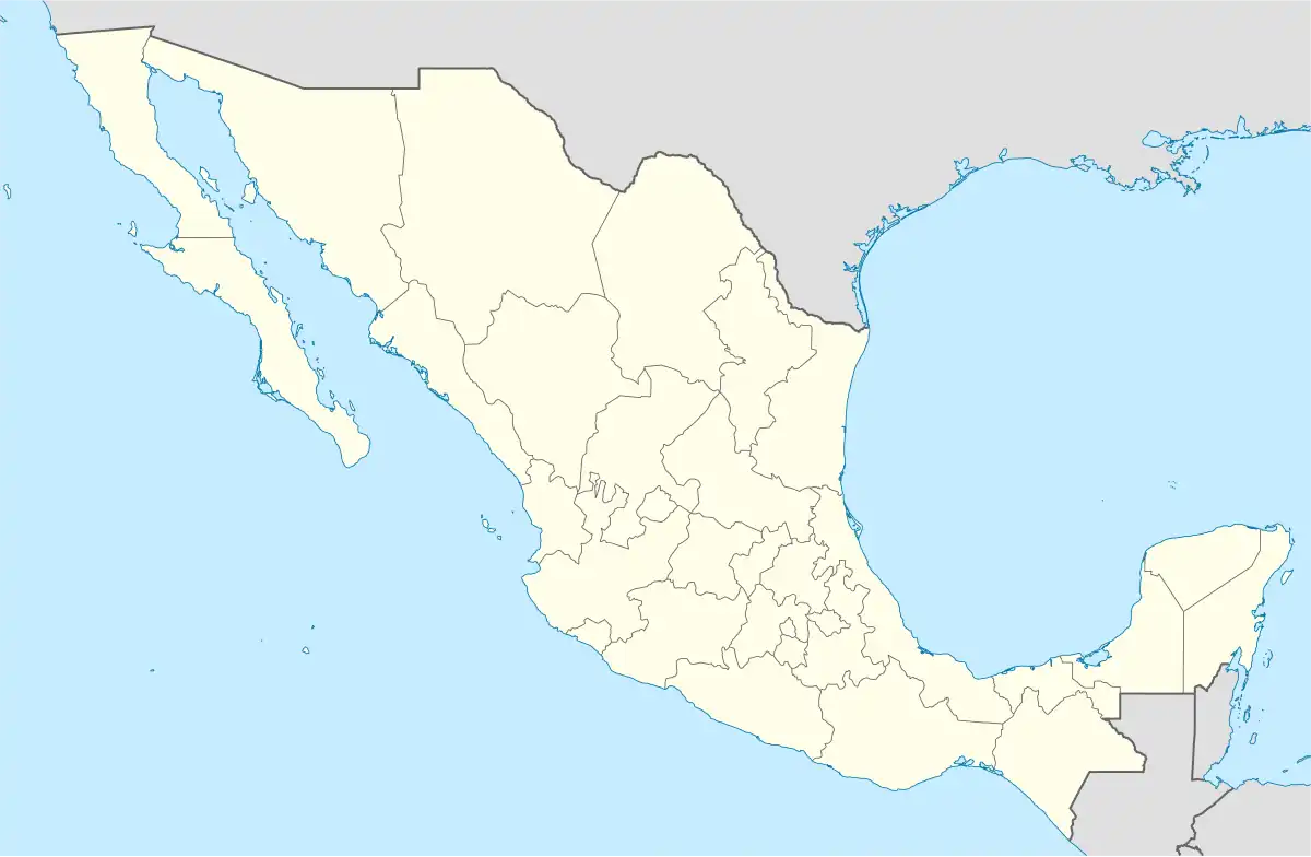 Ángel Albino Corzo Location in Mexico | |
| Coordinates: 16°32′N 92°26′W / 16.533°N 92.433°W | |
| Country | |
| State | Chiapas |
| Municipal seat | Jaltenango de la Paz |
| Municipality created | 24 February 1933 |
| Area | |
| • Total | 1,748.81 km2 (675.22 sq mi) |
| Elevation | 644 m (2,113 ft) |
| Population (2010) | |
| • Total | 26,628 |
| • Density | 15/km2 (39/sq mi) |
Ángel Albino Corzo is a municipality in the Mexican state of Chiapas, in southern Mexico. It covers an area of 1748.81 km². Its municipal seat is the town of Jaltenango de la Paz.
As of 2010, the municipality had a total population of 26,628,[1] up from 21,848 as of 2005.[2]
The municipality had 199 localities, the largest of which (with 2010 populations in parentheses) were: Jaltenango de la Paz (10,427), Nueva Palestina (3,475), classified as urban, and Querétaro (2,203), Francisco I. Madero (1,819), Nueva Colombia (1,568), and Nueva Independencia (1,283), classified as rural.[1]
The municipality was created on 24 February 1933 during the administration of Governor Victórico R. Grajales. It was named for 19th-century Chiapas politician Ángel Albino Corzo (after whom Chiapa de Corzo was also named).
References
- 1 2 "Angel Albino Corzo". Catálogo de Localidades. Secretaría de Desarrollo Social (SEDESOL). Retrieved 23 April 2014.
- ↑ "Ángel Albino Corzo". Enciclopedia de los Municipios de México. INAFED. Retrieved July 25, 2008.