current name unknown
Çagagüzer | |
|---|---|
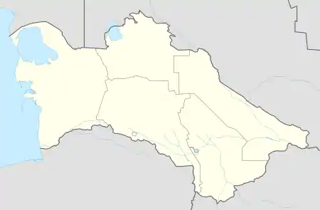 current name unknown Location in Turkmenistan | |
| Coordinates: 37°38′37″N 65°29′5″E / 37.64361°N 65.48472°E | |
| Country | |
| Province | Lebap Province |
| District | Kerki District |
| Rural Council | Burguçy geňeşligi |
| Elevation | 245 m (804 ft) |
| Time zone | UTC+5 |
Çagagüzer is the former name (prior to 1993) of a village in eastern Turkmenistan near the border with Afghanistan. It is located in Burguçy geňeşligi, Kerki District, Lebap Province.[1][2]
Nearby towns and villages include Gyzylaýak (5.0 nm), Oba (5.0 nm), Agar (4.3 nm), Jyňňylhatap (1.7 nm), Hatap (4.8 nm), Mukry (1.6 nm) and Birleşik (1.9 nm).[3]
The nearest airport is 16 miles away at Kerki.
See also
References
- ↑ OpenStreetMap / Districts in Turkmenistan
- ↑ "ПРИЛОЖЕНИЕ №1 к постановлению Преэидента Туркменистана от 5 мая 1993 г. № 1327" (PDF) (in Russian). Parliament of Turkmenistan. 5 May 1993.
- ↑ Falling rain gazetteer
This article is issued from Wikipedia. The text is licensed under Creative Commons - Attribution - Sharealike. Additional terms may apply for the media files.