Çaykənd | |
|---|---|
 | |
 Çaykənd 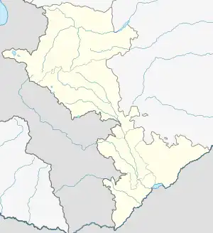 Çaykənd | |
| Coordinates: 40°08′55.8″N 46°05′12.1″E / 40.148833°N 46.086694°E | |
| Country | |
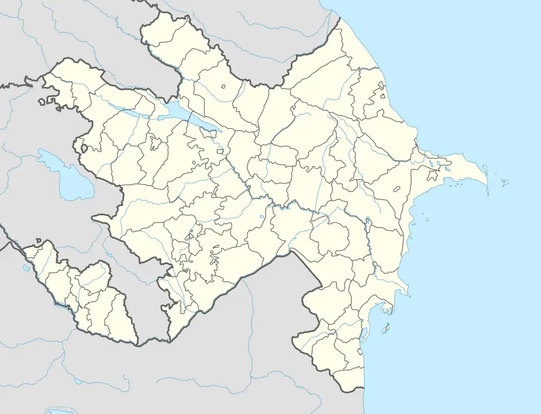
| District | Kalbajar |
| Elevation | 1,618 m (5,308 ft) |
| Population (2015)[1] | |
| • Total | 267 |
| Time zone | UTC+4 (AZT) |
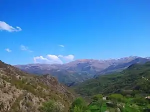
Çaykənd (Chaykend) is a village in the Kalbajar District of Azerbaijan.
History
The village was located in the Armenian-occupied territories surrounding Nagorno-Karabakh, coming under the control of ethnic Armenian forces during the First Nagorno-Karabakh War in the early 1990s. The village subsequently became part of the breakaway Republic of Artsakh as part of its Shahumyan Province, referred to as Nor Verinshen (Armenian: Նոր Վերինշեն). It was returned to Azerbaijan as part of the 2020 Nagorno-Karabakh ceasefire agreement.
Historical heritage sites
Historical heritage sites in and around the village include a 12th/13th-century khachkar.[1]
Demographics
The village had 200 inhabitants in 2005,[2] and 267 inhabitants in 2015.[1]
Gallery


References
- 1 2 3 Hakob Ghahramanyan. "Directory of socio-economic characteristics of NKR administrative-territorial units (2015)".
- ↑ "The Results of the 2005 Census of the Nagorno-Karabakh Republic" (PDF). National Statistic Service of the Republic of Artsakh.
External links
Wikimedia Commons has media related to Çaykənd (Kəlbəcər).


This article is issued from Wikipedia. The text is licensed under Creative Commons - Attribution - Sharealike. Additional terms may apply for the media files.