Çukurkonak
(Uluhtu) | |
|---|---|
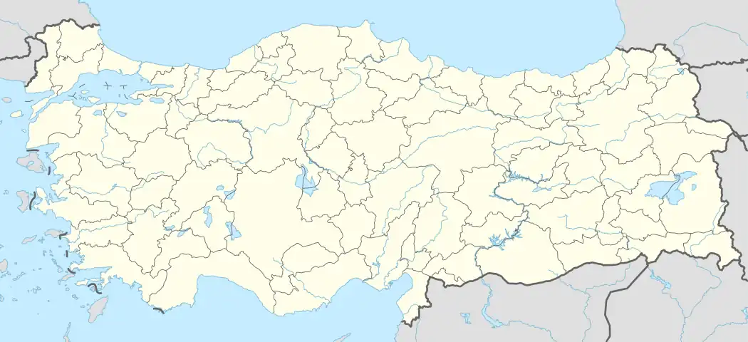 Çukurkonak Location in Turkey | |
| Coordinates: 36°23′N 33°20′E / 36.383°N 33.333°E | |
| Country | Turkey |
| Province | Mersin |
| District | Gülnar |
| Elevation | 1,100 m (3,600 ft) |
| Population (2022) | 196 |
| Time zone | TRT (UTC+3) |
| Postal code | 33702 |
| Area code | 0324 |
Çukurkonak (formerly Uluhtu) is a neighbourhood in the municipality and district of Gülnar, Mersin Province, Turkey.[1] Its population is 196 (2022).[2] The village is situated in the Taurus Mountains. The distance to Gülnar is 14 kilometres (8.7 mi) and to Mersin is 161 kilometres (100 mi).
References
- ↑ Mahalle, Turkey Civil Administration Departments Inventory. Retrieved 12 July 2023.
- ↑ "Address-based population registration system (ADNKS) results dated 31 December 2022, Favorite Reports" (XLS). TÜİK. Retrieved 12 July 2023.
This article is issued from Wikipedia. The text is licensed under Creative Commons - Attribution - Sharealike. Additional terms may apply for the media files.