| Étale | |
|---|---|
.JPG.webp) The Étale | |
| Highest point | |
| Elevation | 2,484 m (8,150 ft) |
| Prominence | 997 m (3,271 ft)[1] |
| Coordinates | 45°51′00″N 06°26′51″E / 45.85000°N 6.44750°E |
| Geography | |
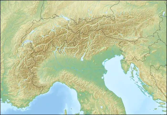 Étale Location in the Alps | |
| Location | Savoie, France |
| Parent range | Aravis Range |
Étale is a mountain of Savoie and Haute-Savoie, France. It lies in the Aravis Range of the French Prealps and has an elevation of 2,484 metres above sea level.
References
- ↑ "L'Étale - peakbagger". peakbagger.com. Retrieved 23 February 2015.
Wikimedia Commons has media related to L'Étale (Aravis).
This article is issued from Wikipedia. The text is licensed under Creative Commons - Attribution - Sharealike. Additional terms may apply for the media files.