Ćwikielnia | |
|---|---|
Settlement | |
 Ćwikielnia | |
| Coordinates: 53°38′29″N 20°24′06″E / 53.64139°N 20.40167°E | |
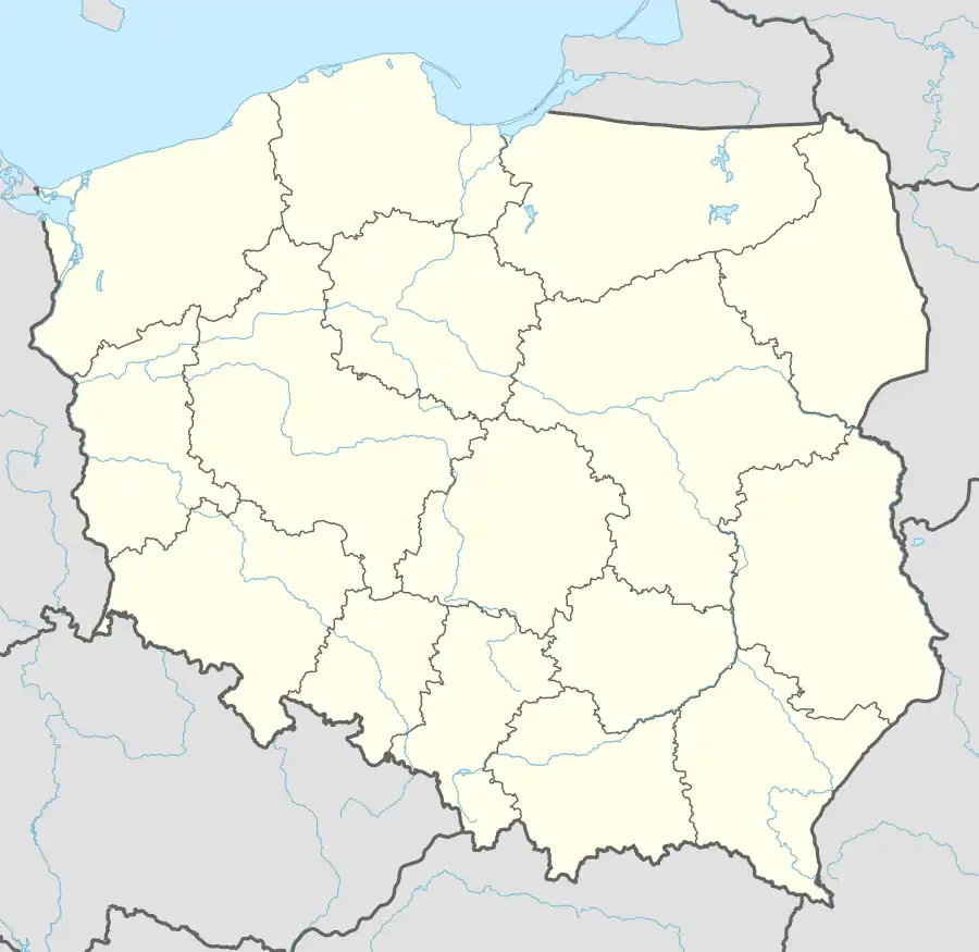
| Country | |
| Voivodeship | Warmian-Masurian |
| County | Olsztyn |
| Gmina | Stawiguda |
| Time zone | UTC+1 (CET) |
| • Summer (DST) | UTC+2 (CEST) |
| Area code | +48 89 |
| Vehicle registration | NOL |
Ćwikielnia [t͡ɕfiˈkʲɛlɲa] is a settlement in the administrative district of Gmina Stawiguda, within Olsztyn County, Warmian-Masurian Voivodeship, in northern Poland.[1] It is located in Warmia.
Before 1772 the area was part of Kingdom of Poland, in 1772–1871 of Prussia, in 1871–1945 of Germany, and of Poland since 1945.
References
This article is issued from Wikipedia. The text is licensed under Creative Commons - Attribution - Sharealike. Additional terms may apply for the media files.