İslambeyli
Urummbeyli | |
|---|---|
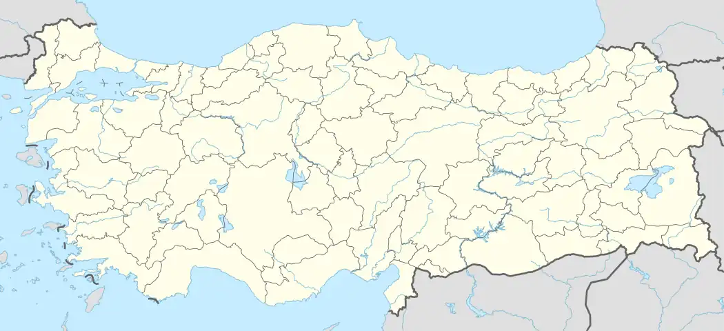 İslambeyli Location in Turkey 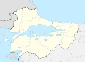 İslambeyli İslambeyli (Marmara) | |
| Coordinates: 41°42′N 27°37′E / 41.700°N 27.617°E | |
| Country | Turkey |
| Province | Kırklareli |
| District | Pınarhisar |
| Elevation | 412 m (1,352 ft) |
| Population (2022) | 243 |
| Time zone | TRT (UTC+3) |
| Postal code | 39300 |
| Area code | 0288 |
İslambeyli is a village in Pınarhisar District of Kırklareli Province, Turkey.[1] Its population is 243 (2022).[2] It is situated in the Eastern Thrace plains. The distance to Pınarhisar is 17 kilometres (11 mi). The old name of this village is Urumbeyli. It was a Bulgarian village during the Ottoman Empire era. But after the Second Balkan War the Bulgarian population was forced to leave the settlement.
References
- ↑ Köy, Turkey Civil Administration Departments Inventory. Retrieved 1 March 2023.
- ↑ "Address-based population registration system (ADNKS) results dated 31 December 2022, Favorite Reports" (XLS). TÜİK. Retrieved 13 March 2023.
| Municipalities | |
|---|---|
| Villages |
|
This article is issued from Wikipedia. The text is licensed under Creative Commons - Attribution - Sharealike. Additional terms may apply for the media files.