Šegestin
| |
|---|---|
Village | |
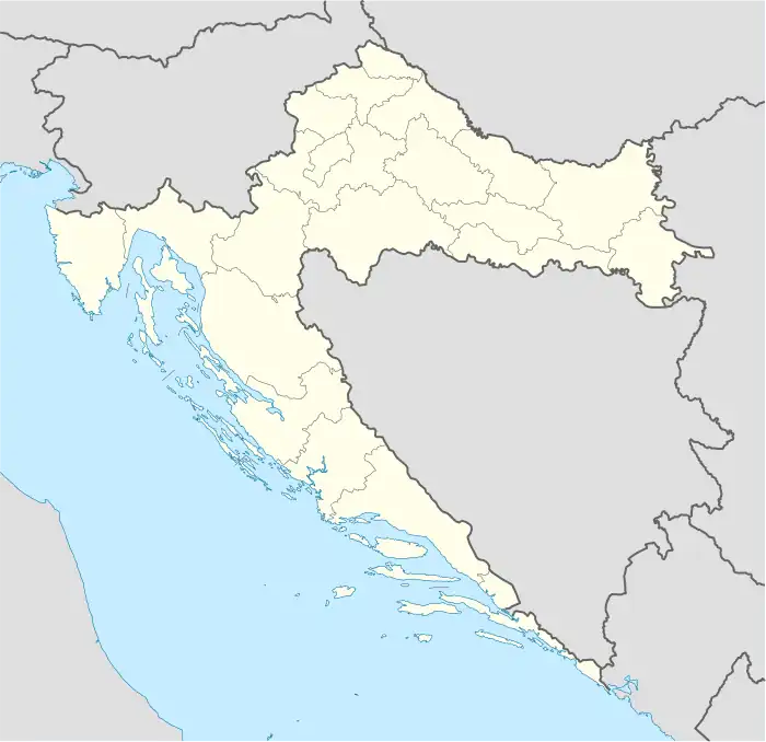
 Šegestin Location of Šegestin in Croatia | |
| Coordinates: 45°09′16″N 16°23′22″E / 45.15444°N 16.38944°E | |
| Country | |
| Region | Continental Croatia (Banovina) |
| County | |
| Municipality | Dvor |
| Area | |
| • Total | 4.5 km2 (1.7 sq mi) |
| Elevation | 268 m (879 ft) |
| Population (2021)[3] | |
| • Total | 7 |
| • Density | 1.6/km2 (4.0/sq mi) |
| Time zone | UTC+1 (CET) |
| • Summer (DST) | UTC+2 (CEST) |
| Postal code | 44435 Divuša |
| Area code | (+385) 44 |
Šegestin (Serbian Cyrillic: Шегестин) is a village in central Croatia, in the municipality of Dvor, Sisak-Moslavina County. It is connected by the D6 highway.
Demographics
According to the 2011 census,[4] the village of Šegestin has 35 inhabitants. This represents 26.12% of its pre-war population according to the 1991 census.
The 1991 census[5] recorded that 99.25% of the village population were ethnic Serbs (133/134) while 0.75% were ethnic Croats (1/134).
Sights
The Church of the Holy Prophet, dedicated to honour the holy Mother of God, was built in 1825. In 1942, during the World War II, the church was destroyed by Ustasha.[7] The church was not rebuilt after the war and, for a long time, it stood with bare walls, without roof and towers. The church does not exist anymore in the village and even its foundations are hard to notice as the location is abandoned and not adapted for visitors.[8]
References
- ↑ Government of Croatia (October 2013). "Peto izvješće Republike Hrvatske o primjeni Europske povelje o regionalnim ili manjinskim jezicima" (PDF) (in Croatian). Council of Europe. p. 36. Retrieved 30 November 2016.
- ↑ Register of spatial units of the State Geodetic Administration of the Republic of Croatia. Wikidata Q119585703.
- ↑ "Population by Age and Sex, by Settlements, 2021 Census". Census of Population, Households and Dwellings in 2021. Zagreb: Croatian Bureau of Statistics. 2022.
- 1 2 "Population by Age and Sex, by Settlements, 2011 Census: Šegestin". Census of Population, Households and Dwellings 2011. Zagreb: Croatian Bureau of Statistics. December 2012.
- ↑ Izdanje Državnog zavoda za statistiku RH: Narodnosni sastav stanovništva RH od 1880-1991. godine.
- ↑ Naselja i stanovništvo Republike Hrvatske 1857-2001, www.dzs.hr
- ↑ "Mutna voda Zrina". portalnovosti.com (in Croatian). 5 October 2017. Retrieved 22 April 2019.
- ↑ Škiljan, Filip (2008). Kulturno – historijski spomenici Banije s pregledom povijesti Banije od prapovijesti do 1881 [Cultural and historical monuments of Banija with an overview of history Banija from prehistory to 1881.] (in Serbian). Zagreb, Croatia: Serb National Council. ISBN 978-953-7442-04-0.