Šentpavel pri Domžalah | |
|---|---|
 | |
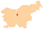
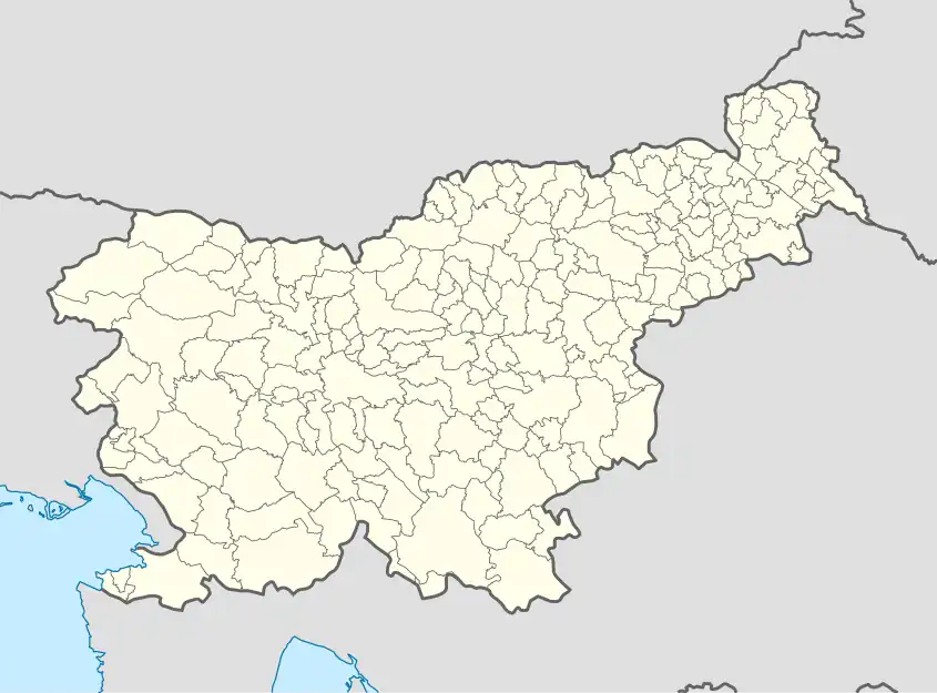 Šentpavel pri Domžalah Location in Slovenia | |
| Coordinates: 46°6′47.56″N 14°35′56.67″E / 46.1132111°N 14.5990750°E | |
| Country | |
| Traditional region | Upper Carniola |
| Statistical region | Central Slovenia |
| Municipality | Domžale |
| Area | |
| • Total | 1.04 km2 (0.40 sq mi) |
| Elevation | 285.8 m (937.7 ft) |
| Population (2002) | |
| • Total | 62 |
| [1] | |
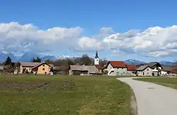
Šentpavel pri Domžalah (pronounced [ʃɛntˈpaːʋəl pɾi dɔmˈʒaːlax] or [ʃəntˈpaːʋəl pɾi dɔmˈʒaːlax]; German: Sankt Paul[2]) is a small settlement south of Domžale in the Upper Carniola region of Slovenia.[3]
Name
The name of the settlement was changed from Šent Pavel to Šentpavel pri Domžalah in 1955.[4] In the past the German name was Sankt Paul.[2]
References
- ↑ Statistical Office of the Republic of Slovenia
- 1 2 Leksikon občin kraljestev in dežel zastopanih v državnem zboru, vol. 6: Kranjsko. 1906. Vienna: C. Kr. Dvorna in Državna Tiskarna, p. 24.
- ↑ Domžale municipal site
- ↑ Spremembe naselij 1948–95. 1996. Database. Ljubljana: Geografski inštitut ZRC SAZU, DZS.
External links
 Media related to Šentpavel pri Domžalah at Wikimedia Commons
- Šentpavel pri Domžalah on Geopedia
| Settlements | Administrative seat: Domžale
|  |
|---|---|---|
| Infrastructure | ||
| Landmarks |
| |
| Notable people | ||
This article is issued from Wikipedia. The text is licensed under Creative Commons - Attribution - Sharealike. Additional terms may apply for the media files.