Šišava (Serbian Cyrillic: Шишава) is a village located on the slopes of Vlašić Mountain, central Bosnia, in the Travnik Municipality of the Federation of Bosnia and Herzegovina.[1][2][3]
Šišava
Шишава | |
|---|---|
Village | |
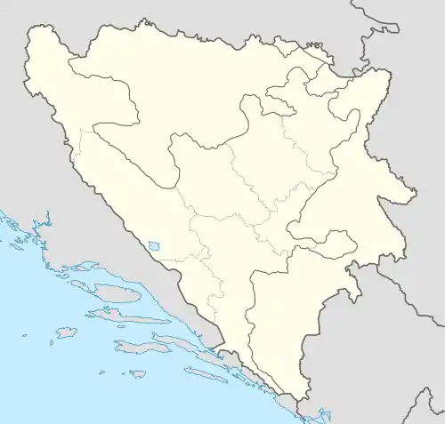 Šišava Location of Šišava within Bosnia and Herzegovina. | |
| Coordinates: 44°18′39″N 17°33′42″E / 44.31083°N 17.56167°E | |
| Country | |
| Canton | |
| Elevation | 1,265 m (4,150 ft) |
| Population (2013 census) | |
| • Total | 100 (approximately) |
| Time zone | UTC+1 (CET) |
| • Summer (DST) | UTC+2 (CEST) |
| Area code | ++387 |
Population
| Šišavs; Census Year 2013: Total of 200 inhabitants | ||||||
| Census Year | 1991. | 1981. | 1971. | |||
| Serbs | 612 (98,71%) | N/A (00,00%) | N/A (00,00%) | |||
| Croats | 1 (0,16%) | N/A (00,00%) | N/A (00,00%) | |||
| Yugoslavs | 1 (0,16%) | N/A (00,00%) | N/A (00,00%) | |||
| Others and unknown | 6 (0,97%) | N/A (00,00%) | N/A (00,00%) | |||
| Total | 620 | 707 | 755 | |||
- ↑ "Općina Travnik - Naslovnica". www.opcinatravnik.com.ba. Retrieved 2020-05-16.
- ↑ "Federalni zavod za statistiku – Federalni zavod za statistiku" (in Bosnian). Retrieved 2020-05-16.
- ↑ "YouTube". www.youtube.com. Retrieved 2020-05-16.
- ↑ "Bosnia & Herzegovina". pop-stat.mashke.org. Retrieved 2020-05-16.
- ↑ "Population statistics of Eastern Europe & former USSR". pop-stat.mashke.org. Retrieved 2020-05-16.
This article is issued from Wikipedia. The text is licensed under Creative Commons - Attribution - Sharealike. Additional terms may apply for the media files.