Šilainėliai | |
|---|---|
Village | |
 | |
 Šilainėliai Location in Lithuania 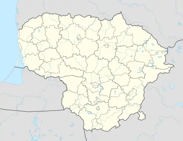 Šilainėliai Šilainėliai (Lithuania) | |
| Coordinates: 55°15′11″N 24°04′01″E / 55.25306°N 24.06694°E | |
| Country | |
| County | |
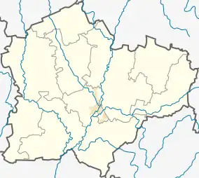
| Municipality | Kėdainiai district municipality |
| Eldership | Pelėdnagiai Eldership |
| Population (2011) | |
| • Total | 7 |
| Time zone | UTC+2 (EET) |
| • Summer (DST) | UTC+3 (EEST) |
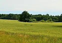
Šilainėliai (formerly Russian: Шилайнели, Polish: Szyłajnele)[1] is a village in Kėdainiai district municipality, in Kaunas County, in central Lithuania. According to the 2011 census, the village had a population of 7 people.[2] It is located 1 kilometre (0.62 mi) from Nociūnai, alongside the A8 highway, by the Šerkšnys river, next to the Želksnys forest and the "Lifosa" phosphogypsum dump site.
It was a selsovet center till the 1954. It was a linear settlement.
Demography
|
| ||||||||||||||||||||||||||||||
| Source: 1902, 1923, 1959 & 1970, 1979, 1989, 2001, 2011 | |||||||||||||||||||||||||||||||
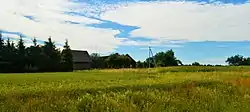
A former homestead site
References
- ↑ "Szyłajnele". Geographical Dictionary of the Kingdom of Poland (in Polish). 12. Warszawa: Kasa im. Józefa Mianowskiego. 1892. p. 106.
- ↑ "2011 census". Statistikos Departamentas (Lithuania). Retrieved August 21, 2017.
This article is issued from Wikipedia. The text is licensed under Creative Commons - Attribution - Sharealike. Additional terms may apply for the media files.