Żmuda | |
|---|---|
Neighbourhood of Lututów | |
 Żmuda 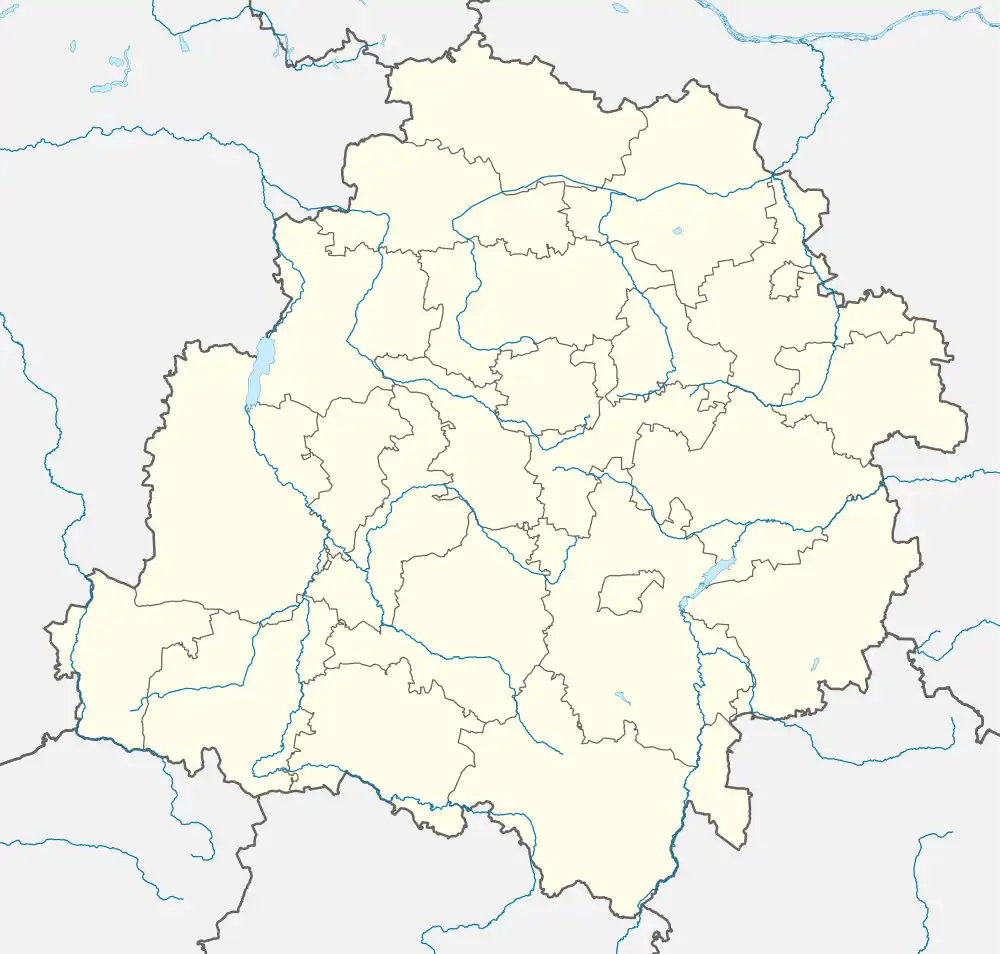 Żmuda | |
| Coordinates: 51°22′N 18°28′E / 51.367°N 18.467°E | |
| Country | |
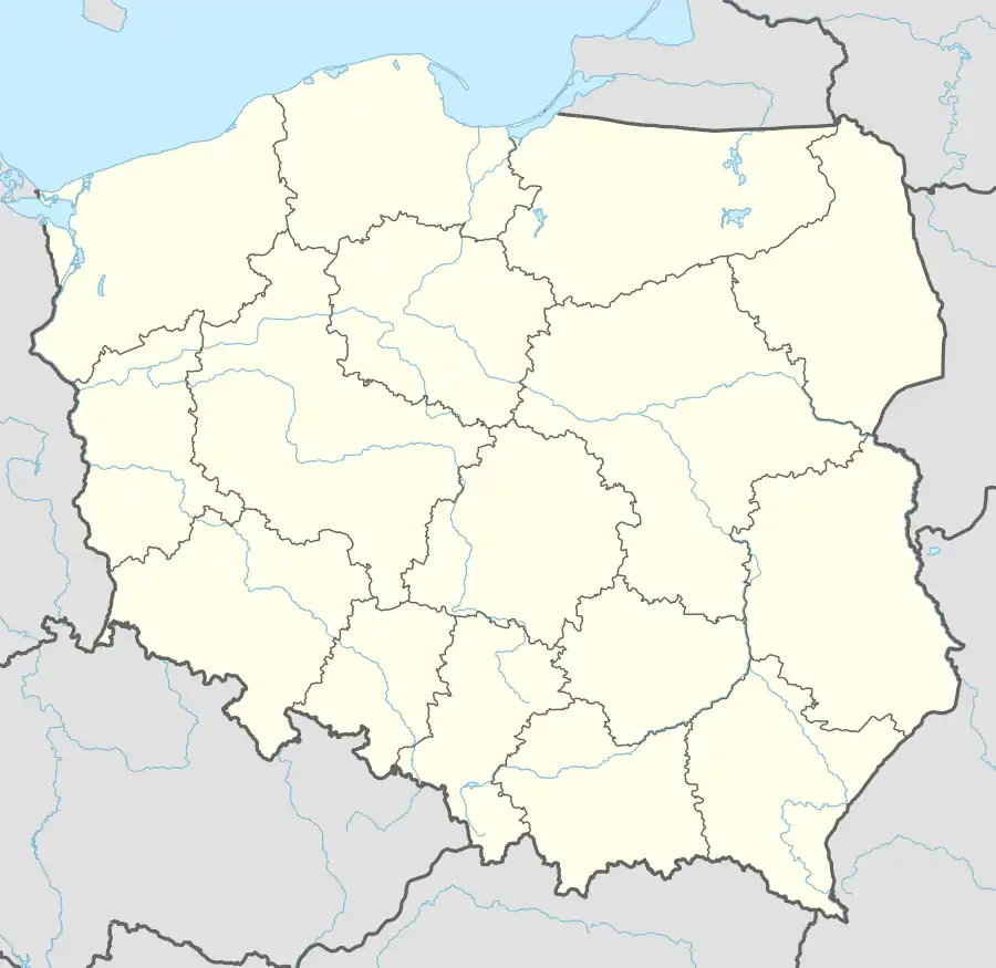
| Voivodeship | Łódź |
| County | Wieruszów |
| Gmina | Lututów |
| Time zone | UTC+1 (CET) |
| • Summer (DST) | UTC+2 (CEST) |
| Vehicle registration | EWE |
Żmuda [ˈʐmuda] is a neighbourhood of Lututów, Poland,[1] located in the eastern part of the town.[2]
References
- ↑ Rozporządzenie Rady Ministrów z dnia 26 lipca 2019 r. w sprawie ustalenia granic niektórych gmin i miast oraz nadania niektórym miejscowościom statusu miasta, Dz. U. z 2019 r. poz. 1416
- ↑ "Central Statistical Office (GUS) – TERYT (National Register of Territorial Land Apportionment Journal)" (in Polish). 2008-06-01.
| Town and seat |  | |
|---|---|---|
| Villages | ||
| Neighbourhoods of Lututów | ||
This article is issued from Wikipedia. The text is licensed under Creative Commons - Attribution - Sharealike. Additional terms may apply for the media files.