 | |
| Local date | January 14, 1863 |
|---|---|
| Magnitude | 6.4 (est.) |
| Depth | 30 |
| Epicenter | 23°36′S 65°00′W / 23.6°S 65.0°W |
| Areas affected | Argentina, Jujuy Province |
| Max. intensity | VIII (Severe) |
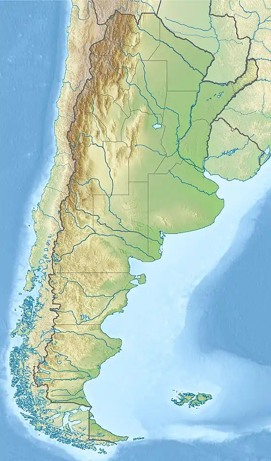
The 1863 Jujuy earthquake took place in the province of Jujuy, Argentina on 15 January at about 11:00 (UTC-3).[1] It had an estimated magnitude of 6.4 and its epicenter was at 23°36′S 65°00′W / 23.600°S 65.000°W, at a depth of about 50 kilometres (31 mi).
This earthquake had a felt intensity of VIII on the Mercalli intensity scale. Its magnitude and duration made it exceptionally destructive, causing damage to the cathedral, the Cabildo (colonial government house)[1] and precarious homes in San Salvador de Jujuy, the provincial capital.
See also
References
- 1 2 "63-DP-13.pdf" (PDF). Legislatura de Jujuy (in Spanish). 13 March 2013. p. 4. Archived (PDF) from the original on 2021-11-09. Retrieved 9 November 2021.
[...] pero en la madrugada del 15 de enero de 1863 un temblor de gran magnitud arruinó el viejo edificio [the Cabildo]
- (in Spanish) Instituto Nacional de Prevención Sísmica. Listado de Terremotos Históricos.
This article is issued from Wikipedia. The text is licensed under Creative Commons - Attribution - Sharealike. Additional terms may apply for the media files.