Aïn Charchar
عين شرشار | |
|---|---|
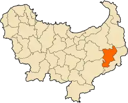
Commune and providance | |
 Commune location in Skikda Province. | |
 Aïn Charchar | |
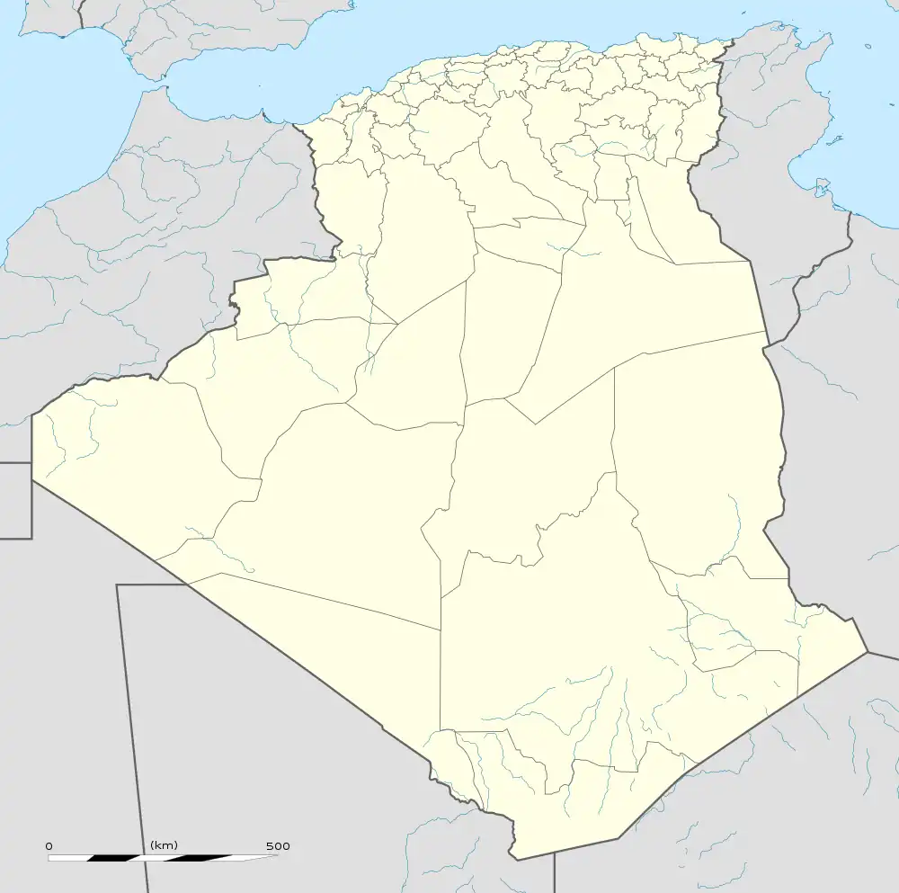
| Coordinates: 36°43′52″N 7°13′11″E / 36.73111°N 7.21972°E | |
| Country | |
| Province | Skikda Province |
| Time zone | UTC+1 (CET) |
| Postal code | 21006 |
| ISO 3166 code | DZ-21 |
Aïn Charchar (Arabic: عين شرشار, romanized: ʿAyn Šaršār) is a town and commune in Skikda Province in north-eastern Algeria.[1]
Climate
Aïn Cherchar's climate is classified as warm and temperate. The winter months are much rainier than the summer months. According to the Köppen Climate Classification system, this climate is classified as "Csa". The average annual temperature is 63.3 °F (17.4 °C), and precipitation is about 24.72 inches (628 mm) per year.[2]
| Climate data for Aïn Charchar, Skikda (1991–2021 normals) | |||||||||||||
|---|---|---|---|---|---|---|---|---|---|---|---|---|---|
| Month | Jan | Feb | Mar | Apr | May | Jun | Jul | Aug | Sep | Oct | Nov | Dec | Year |
| Mean daily maximum °F | 57.6 | 58.2 | 63.9 | 69.1 | 76 | 85.3 | 92.1 | 92 | 84 | 77.6 | 66.2 | 59.6 | 73.5 |
| Daily mean °F | 49.1 | 49.4 | 54.1 | 58.9 | 65.4 | 73.6 | 79.6 | 79.7 | 73.5 | 67.3 | 57.5 | 51.3 | 63.3 |
| Mean daily minimum °F | 41.9 | 41.6 | 45.3 | 49.2 | 54.9 | 61.7 | 67.2 | 68.2 | 64.4 | 58.7 | 50.2 | 44.3 | 54.0 |
| Average precipitation inches | 3.2 | 2.9 | 2.8 | 2.5 | 1.8 | 0.6 | 0.1 | 0.6 | 1.6 | 2.4 | 3.2 | 3.1 | 24.8 |
| Mean daily maximum °C | 14.2 | 14.6 | 17.7 | 20.6 | 24 | 29.6 | 33.4 | 33 | 29 | 25.3 | 19.0 | 15.3 | 23.0 |
| Daily mean °C | 9.5 | 9.7 | 12.3 | 14.9 | 18.6 | 23.1 | 26.4 | 26.5 | 23.1 | 19.6 | 14.2 | 10.7 | 17.4 |
| Mean daily minimum °C | 5.5 | 5.3 | 7.4 | 9.6 | 12.7 | 16.5 | 19.6 | 20.1 | 18.0 | 14.8 | 10.1 | 6.8 | 12.2 |
| Average precipitation mm | 81 | 73 | 70 | 63 | 46 | 14 | 3 | 15 | 40 | 62 | 81 | 80 | 628 |
| Average precipitation days | 9 | 8 | 7 | 7 | 5 | 2 | 1 | 2 | 6 | 7 | 9 | 8 | 71 |
| Average relative humidity (%) | 75 | 74 | 73 | 71 | 67 | 57 | 52 | 54 | 63 | 67 | 71 | 74 | 67 |
| Mean daily sunshine hours | 6.4 | 7.2 | 8.2 | 9.4 | 10.7 | 12.2 | 12.5 | 11.5 | 9.8 | 8.5 | 7.2 | 6.5 | 9.2 |
| Source: climate-data.org[2] | |||||||||||||
References
- ↑ "Communes of Algeria". Statoids. Archived from the original on 29 November 2010. Retrieved December 12, 2010.
- 1 2 "Aïn Cherchar climate: Average Temperature, weather by month, Collo water temperature – Climate-Data.org". en.climate-data.org. Archived from the original on 6 August 2022. Retrieved 6 August 2022.
36°43′52″N 7°13′11″E / 36.73111°N 7.21972°E
This article is issued from Wikipedia. The text is licensed under Creative Commons - Attribution - Sharealike. Additional terms may apply for the media files.
.svg.png.webp)