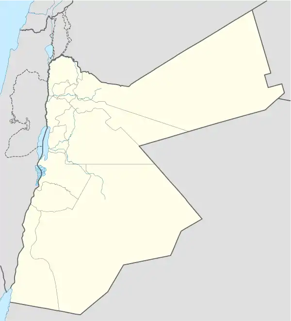
Al-Taybeh
لواء الطيبة | |
|---|---|
District | |
| Liwā’ aţ Ţayibeh | |
 | |
 Al-Taybeh | |
| Coordinates: 32°33′13″N 35°41′34″E / 32.5537°N 35.6929°E | |
| Country | Jordan |
| Province | Irbid |
| Area | |
| • Total | 63.47 km2 (24.51 sq mi) |
| • Land | 164.4 km2 (63.47 sq mi) |
| Elevation | 388.3 m (1,274.0 ft) |
| Population (2015) | |
| • Total | 51,501 |
| • Density | 811.4/km2 (2,102/sq mi) |
| Time zone | UTC3 (GMT +3) |
| ZIP Code | 21810 |
| Geocode | AJLUN-VHACL |
Aṭ-Ṭaībah, also known as Al-Taybeh (Arabic: الطيبة), is one of the districts situated within the Irbid Governorate in Jordan.[1][2] This administrative division encompasses several villages, with Al-Ṭaybah serving as its central hub. Other villages under its jurisdiction include Samma, Dīr as-Sa'nah, Makhraaba, Mindah, Zibdah, and Absir Abū Alī.
Geographic Location
Aṭ-Ṭaībah District is strategically positioned between the Al-Kūrah and Al-Wasṭīyah districts, as well as the Northern Jordan Valley and the western municipality of Irbid.
Notable Landmarks
Among the prominent landmarks in the district is the Grand Mosque of Taybeh (مسجد الطيبة الكبير).
References
- ↑ "Jordan: Administrative Division, Governorates and Districts".
- ↑ "Atlas of ELECTORAL DISTRICTS". Archived from the original (PDF) on 2017-12-15. Retrieved 2019-02-16.
This article is issued from Wikipedia. The text is licensed under Creative Commons - Attribution - Sharealike. Additional terms may apply for the media files.
