Aar | |
|---|---|
Village | |
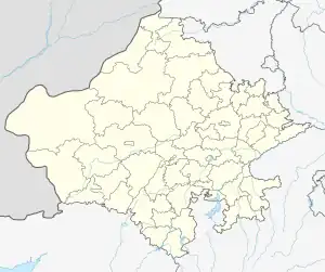
 Aar Location in Rajasthan, India  Aar Aar (India) | |
| Coordinates: 23°57′55″N 74°23′34″E / 23.9653°N 74.3927°E | |
| Country | |
| State | Rajasthan |
| District | Udaipur |
| Area | |
| • Total | 4.5547 km2 (1.7586 sq mi) |
| Population (2011) | |
| • Total | 1,007 |
| • Density | 220/km2 (570/sq mi) |
| Languages | |
| • Official | Hindi, Mewari |
| Time zone | UTC+5:30 (IST) |
| PIN | 313611 |
| Vehicle registration | RJ- |
| Nearest city | Udaipur |
| Lok Sabha constituency | Udaipur |
Aar is a village located in Girwa Tehsil of Udaipur district in the Indian state of Rajasthan. As per Population Census 2011, Aachhat village has population of 1007 of which 513 are males while 494 are females.[1]
References
- ↑ "District Census Handbook" (PDF). Censusindia.gov.in.
This article is issued from Wikipedia. The text is licensed under Creative Commons - Attribution - Sharealike. Additional terms may apply for the media files.