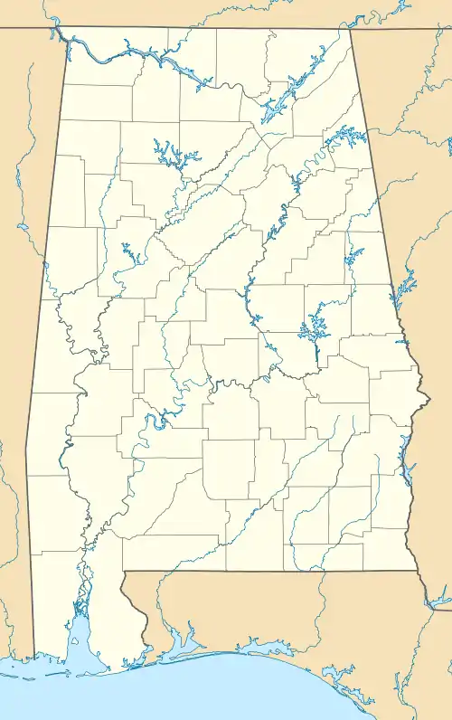
Abanda, Alabama | |
|---|---|
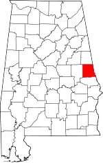
 Location of Abanda in Chambers County, Alabama. | |
 Abanda  Abanda | |
| Coordinates: 33°06′03″N 85°31′47″W / 33.10083°N 85.52972°W | |
| Country | United States |
| State | Alabama |
| County | Chambers |
| Area | |
| • Total | 3.01 sq mi (7.80 km2) |
| • Land | 3.00 sq mi (7.76 km2) |
| • Water | 0.01 sq mi (0.03 km2) |
| Elevation | 646 ft (197 m) |
| Population (2020) | |
| • Total | 133 |
| • Density | 44.36/sq mi (17.13/km2) |
| Time zone | UTC-6 (Central (CST)) |
| • Summer (DST) | UTC-5 (CDT) |
| ZIP code | 36276 |
| Area code | 334 |
| GNIS feature ID | 112879[2] |
Abanda is a census-designated place and unincorporated community in Chambers County, Alabama, United States. Its population was 133 as of the 2020 census.
History
Abanda was founded when the Atlanta, Birmingham and Atlantic Railroad (ABandA) was extended to that point.[3] A post office was established at Abanda in 1908, and remained in operation until it was discontinued in 1956.[4]
Demographics
| Census | Pop. | Note | %± |
|---|---|---|---|
| 2010 | 192 | — | |
| 2020 | 133 | −30.7% | |
| U.S. Decennial Census[5] | |||
Abanda first appeared on the 2010 U.S. Census as a census-designated place (CDP).[6]
2020 census
| Race / Ethnicity | Pop 2010[7] | Pop 2020[8] | % 2010 | 2020 |
|---|---|---|---|---|
| White alone (NH) | 129 | 95 | 67.19% | 71.43% |
| Black or African American alone (NH) | 58 | 34 | 30.21% | 25.56% |
| Native American or Alaska Native alone (NH) | 0 | 0 | 0.00% | 0.00% |
| Asian alone (NH) | 0 | 0 | 0.00% | 0.00% |
| Pacific Islander alone (NH) | 0 | 0 | 0.00% | 0.00% |
| Some Other Race alone (NH) | 0 | 0 | 0.00% | 0.00% |
| Mixed Race/Multi-Racial (NH) | 2 | 0 | 1.04% | 0.00% |
| Hispanic or Latino (any race) | 3 | 4 | 1.56% | 3.01% |
| Total | 192 | 133 | 100.00% | 100.00% |
Economy
The median household income in Abanda is $13,864 which is considerably smaller than the United States average median income of $53,046. Also, versus the state of Alabama, average median income of $43,160, Abanda is approximately a third that size.[9]
References
- ↑ "2020 U.S. Gazetteer Files". United States Census Bureau. Retrieved October 29, 2021.
- ↑ "Abanda". Geographic Names Information System. United States Geological Survey, United States Department of the Interior.
- ↑ Foscue, Virginia O. (1989). Place Names in Alabama. University of Alabama Press. p. 5. ISBN 978-0-8173-0410-2.
- ↑ "Chambers County". Jim Forte Postal History. Retrieved February 9, 2015.
- ↑ "Census of Population and Housing". Census.gov. Retrieved June 4, 2016.
- ↑ "Census data 2010" (PDF). census.gov. Retrieved April 15, 2023.
- ↑ "P2 HISPANIC OR LATINO, AND NOT HISPANIC OR LATINO BY RACE – 2010: DEC Redistricting Data (PL 94-171) – Abanda CDP, Alabama". United States Census Bureau.
- ↑ "P2 HISPANIC OR LATINO, AND NOT HISPANIC OR LATINO BY RACE - 2020: DEC Redistricting Data (PL 94-171) - Abanda CDP, Alabama". United States Census Bureau.
- ↑ "Abanda CDP Alabama Economy data and economic research". www.towncharts.com. Retrieved April 15, 2023.
This article is issued from Wikipedia. The text is licensed under Creative Commons - Attribution - Sharealike. Additional terms may apply for the media files.
