Abasi | |
|---|---|
village | |
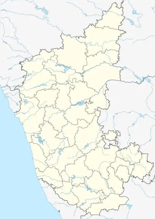
 Abasi Location in Karnataka, India Show map of Karnataka Abasi Abasi (India) Show map of India | |
| Coordinates: 14°20′42″N 75°00′50″E / 14.345°N 75.014°E / 14.345; 75.014 | |
| Country | |
| State | Karnataka |
| District | Shimoga |
| Elevation | 580 m (1,900 ft) |
| Population (2001) | |
| • Total | 138 |
| Languages | |
| • Official | Kannada |
| Time zone | UTC+5:30 (IST) |
| PIN | 577434 |
| Telephone code | 91 8184 |
| Vehicle registration | KA15 |
Abasi is a village in Sorab taluk of Shimoga district, Karnataka, India.
Falling under Abasi Panchayath, the small village belongs to the Bangalore Division. Eighty-three kilometres west of district headquarters, Shimoga, Abasi is 365 km from state capital Bangalore.
The nearest railway station to the village, the Sagar Jambagaru Railway Station, is at a distance of 28 km. The road to Abasi traverses across towns like Siralkoppa, Sagar, Shikapur, Hirekerur, Sirsi and Hangal. [1] kumuta,ulavi
References
- ↑ "Abasi, Karnataka". rediff.com. Retrieved 13 August 2013.
District HQ: Shimoga | |
| Villages and towns |
|
This article is issued from Wikipedia. The text is licensed under Creative Commons - Attribution - Sharealike. Additional terms may apply for the media files.