Acadieville | |
|---|---|
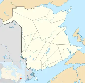 Acadieville Location of Acadieville in New Brunswick | |
| Coordinates: 46°43′51″N 65°16′00″W / 46.7308353°N 65.266629°W | |
| Country | Canada |
| Province | New Brunswick |
| County | Kent County |
| Lowest elevation | 0 m (0 ft) |
| Time zone | UTC-4 (Atlantic (AST)) |
| • Summer (DST) | UTC-3 (ADT) |
| Area code | 506 |
| NTS Map | 21I10 Richibucto |
Acadieville is a small rural community in New Brunswick, Canada situated on the Kouchibouguac River west of Kouchibouguac National Park. Acadieville has approximately 600 people. The population is mostly French Acadian.[1] The Route is on Route 480.
History
Education
| District | School Name | Grades | Notes |
|---|---|---|---|
| Francophone Sud | |||
| Anglophone North |
Notable people
See also
References
This article is issued from Wikipedia. The text is licensed under Creative Commons - Attribution - Sharealike. Additional terms may apply for the media files.