Achtmaal | |
|---|---|
Village | |
_P1050221.JPG.webp) St Cornelius Church | |
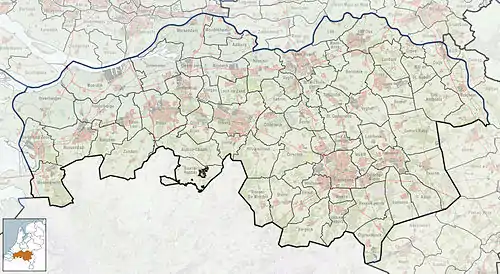
 Achtmaal Location in the province of North Brabant in the Netherlands  Achtmaal Achtmaal (Netherlands) | |
| Coordinates: 51°27′9″N 4°34′55″E / 51.45250°N 4.58194°E | |
| Country | Netherlands |
| Province | North Brabant |
| Municipality | Zundert |
| Area | |
| • Total | 27.06 km2 (10.45 sq mi) |
| Elevation | 13 m (43 ft) |
| Population (2021)[1] | |
| • Total | 1,625 |
| • Density | 60/km2 (160/sq mi) |
| Time zone | UTC+1 (CET) |
| • Summer (DST) | UTC+2 (CEST) |
| Postal code | 4885[1] |
| Dialing code | 076 |
Achtmaal is a village the south of the Netherlands. It is located in Zundert, North Brabant, near the border with Belgium.
History
The village was first mentioned in 1294 as "Gilberti de Achtmale", and is a combination of "reserved forest" and "court of justice".[3]
Achtmaal was home to 100 people in 1840. The St Cornelius Church was built in 1863.[4]
During World War II, the United States Army 104th Infantry Division, 415th Infantry Regiment, liberated Achtmaal. Operation Pheasant (code-name "Suitcase") started on the morning of Friday 20 October 1944 just after 7:00am. On 27 October 1944 the 3rd Battalion of the 415th Infantry entered the village and Lieutenant Colonel Kelleher was handed papers by the Dutch resistance. They proved to be very helpful for the liberators. The Regiment sustained thirty-seven killed and 135 wounded during the operation.
References
- 1 2 3 "Kerncijfers wijken en buurten 2021". Central Bureau of Statistics. Retrieved 19 April 2022.
- ↑ "Postcodetool for 4885AA". Actueel Hoogtebestand Nederland (in Dutch). Het Waterschapshuis. Retrieved 19 April 2022.
- ↑ "Achtmaal - (geografische naam)". Etymologiebank (in Dutch). Retrieved 19 April 2022.
- ↑ "Achtmaal". Plaatsengids (in Dutch). Retrieved 19 April 2022.