Aghacullion
| |
|---|---|
 Farmland west of the Burrenreagh Road in Aghacullion | |
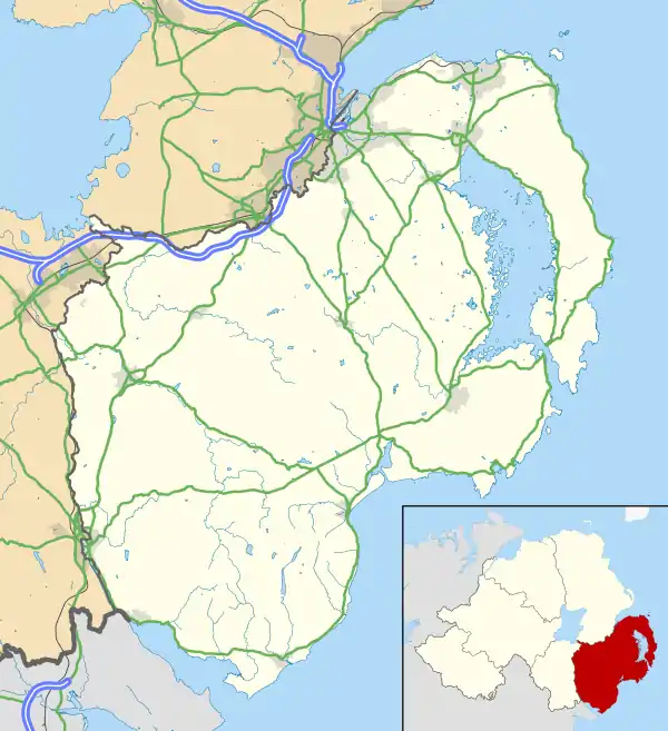 Aghacullion Location within County Down | |
| County | |
| Country | Northern Ireland |
| Sovereign state | United Kingdom |
| Postcode district | BT |
| Dialling code | 028 |
Aghacullion (from Irish Achadh an Chuilinn 'field of the holly')[1] is a rural townland in County Down, Northern Ireland. It has an area of 223.77 acres (0.91 km2). It is situated in the civil parish of Kilcoo and the historic barony of Iveagh Upper, Lower Half, located miles 2 north-west of Newcastle. It lies within the Newry, Mourne and Down District Council.[2]
See also
References
- ↑ "Aghacullion". Place Names NI. Retrieved 1 December 2023.
- ↑ "Aghacullion". townlands.ie. Retrieved 1 December 2023.

This article is issued from Wikipedia. The text is licensed under Creative Commons - Attribution - Sharealike. Additional terms may apply for the media files.