Agnew, Nebraska | |
|---|---|
 | |
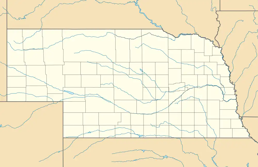 Agnew Location in Nebraska  Agnew Location in the United States | |
| Coordinates: 41°00′51″N 96°48′51″W / 41.01417°N 96.81417°W | |
| Country | United States |
| State | Nebraska |
| County | Lancaster |
| Area | |
| • Total | 0.19 sq mi (0.49 km2) |
| • Land | 0.19 sq mi (0.49 km2) |
| • Water | 0.00 sq mi (0.00 km2) |
| Elevation | 1,266 ft (386 m) |
| Population (2020) | |
| • Total | 30 |
| • Density | 159.57/sq mi (61.47/km2) |
| Time zone | UTC-6 (Central (CST)) |
| • Summer (DST) | UTC-5 (CDT) |
| ZIP codes | 68428 |
| FIPS code | 31-00380 |
| GNIS feature ID | 2806910[2] |
Agnew is an unincorporated community in Lancaster County, Nebraska, United States.[2]
History
A post office was established at Agnew in 1886, and remained in operation until it was discontinued in 1978.[3] The community was named for William James Agnew, a railroad official.[4] Agnew was platted in 1889.[5]
Demographics
| Census | Pop. | Note | %± |
|---|---|---|---|
| 2020 | 30 | — | |
| U.S. Decennial Census[6] | |||
See also
References
- ↑ "ArcGIS REST Services Directory". United States Census Bureau. Retrieved September 18, 2022.
- 1 2 3 U.S. Geological Survey Geographic Names Information System: Agnew, Nebraska
- ↑ "Lancaster County". Jim Forte Postal History. Retrieved August 19, 2014.
- ↑ Fitzpatrick, Lillian L. (1960). Nebraska Place-Names. University of Nebraska Press. p. 90. ISBN 0-8032-5060-6. A 1925 edition is available for download at University of Nebraska—Lincoln Digital Commons.
- ↑ Burr, George L.; Buck, O. O. (1921). History of Hamilton and Clay Counties, Nebraska. S.J. Clarke Publishing Company. p. 126.
- ↑ "Census of Population and Housing". Census.gov. Retrieved June 4, 2016.
External links
![]() Media related to Agnew, Nebraska at Wikimedia Commons
Media related to Agnew, Nebraska at Wikimedia Commons
Municipalities and communities of Lancaster County, Nebraska, United States | ||
|---|---|---|
| Cities | Map of Nebraska highlighting Lancaster County | |
| Villages | ||
| CDPs | ||
| Other communities | ||
| Footnotes | ‡This populated place also has portions in an adjacent county or counties | |
This article is issued from Wikipedia. The text is licensed under Creative Commons - Attribution - Sharealike. Additional terms may apply for the media files.