Agres | |
|---|---|
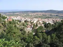 Agres seen from the Montcabrer. | |
 Coat of arms | |
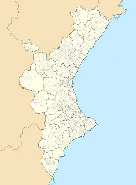 Agres Location within the Valencian Community | |
| Coordinates: 38°46′47″N 00°30′58″W / 38.77972°N 0.51611°W | |
| Country | Spain |
| Province | Alicante |
| Comarca | Comtat |
| Government | |
| • Alcalde | Josep Manel Francès i Reig |
| Area | |
| • Total | 25.80 km2 (9.96 sq mi) |
| Elevation | 722 m (2,369 ft) |
| Population (2018)[1] | |
| • Total | 551 |
| • Density | 21/km2 (55/sq mi) |
| • Language | Valencian |
| Demonyms | Agresà, agresana (Catalan) |
| Postcode | 03837 |
| Website | http://www.agres.es |
Agres (Valencian and Spanish: [ˈaɣɾes]) is a town and municipality in the comarca of Comtat, in the province of Alicante, Valencian Community, Spain.
It is situated between the Serra de Mariola and the Serra d'Agullent. It is bordered by Agullent, Benissoda and Albaida to the north; Muro d'Alcoi and Cocentaina to the east; Alfafara to the west and Alcoi to the south.
See also
References
- ↑ Municipal Register of Spain 2018. National Statistics Institute.
External links
Wikimedia Commons has media related to Agres.
- Índice de Estadística Municipal del municipio de Agres. Unidad de Documentación de la Diputación de Alicante (in Spanish)
- Datos y cifras de los municipios de la provincia de Alicante. Unidad de Documentación de la Diputación de Alicante (in Spanish)
- Web de la Diputación Provincial de Alicante (in Spanish)
Municipalities of Comtat | ||
|---|---|---|
This article is issued from Wikipedia. The text is licensed under Creative Commons - Attribution - Sharealike. Additional terms may apply for the media files.