| Aitrach | |
|---|---|
_2013.jpg.webp) | |
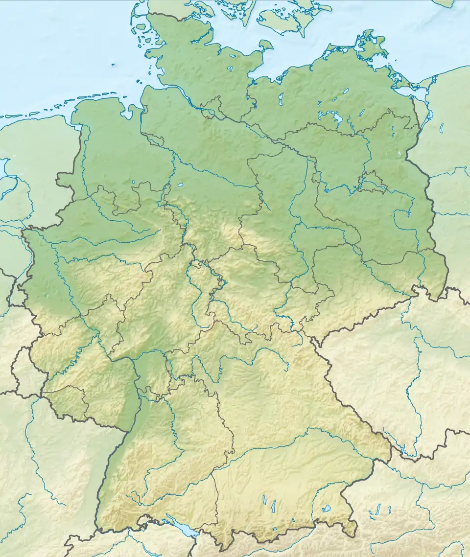
 Location of mouth | |
| Location | |
| Country | Germany |
| State | Baden-Württemberg |
| Physical characteristics | |
| Mouth | |
• location | Iller |
• coordinates | 47°57′44″N 10°05′05″E / 47.9622°N 10.0847°E |
| Length | 39.6 km (24.6 mi) [1] |
| Basin size | 357 km2 (138 sq mi) [1] |
| Basin features | |
| Progression | Iller→ Danube→ Black Sea |
Aitrach is a river of Baden-Württemberg, Germany. It is formed at the confluence of the Wurzacher Ach and the Eschach near Leutkirch im Allgäu. It is a left tributary of the Iller, which it joins near the village Aitrach. Including the Wurzacher Ach, it is 39.6 km long.
See also
References
- 1 2 Complete table of the Bavarian Waterbody Register by the Bavarian State Office for the Environment (xls, 10.3 MB)
This article is issued from Wikipedia. The text is licensed under Creative Commons - Attribution - Sharealike. Additional terms may apply for the media files.