Ak Chut Vaya, Arizona | |
|---|---|
Ghost town | |
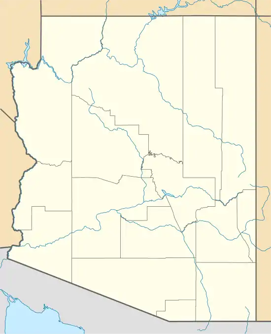 Ak Chut Vaya, Arizona Location of Ak Chut Vaya in Arizona | |
| Coordinates: 31°37′50″N 111°48′34″W / 31.63056°N 111.80944°W | |
| Country | United States |
| State | Arizona |
| County | Pima |
| Elevation | 2,434 ft (742 m) |
| Time zone | UTC-7 (Mountain (MST)) |
| • Summer (DST) | UTC-7 (MST) |
| ZIP codes | 85634 |
| Area code | 520 |
| FIPS code | 04-01100 |
| GNIS feature ID | 24296 |
Ak Chut Vaya was a populated place on the Tohono Oʼodham Reservation, in Pima County. The settlement was located on the Tohono Oʼodham Indian Reservation.[2] The Tohono Oʼodham name "Ak Chut Vaya" translates to "arroyo well" in English.[2] It has an estimated elevation of 2,434 feet (742 m) above sea level. As of 2019, the townsite consists of two abandoned buildings and can be classified as a ghost town. The site is approximately two miles (3.2 km) from San Miguel, Arizona.
References
- ↑ "Feature Detail Report for: Ak Chut Vaya". Geographic Names Information System. United States Geological Survey, United States Department of the Interior.
- 1 2 Bright, William (2013). Native American Placenames of the Southwest: A Handbook for Travelers. University of Oklahoma Press. p. 5. ISBN 9780806189147.

This article is issued from Wikipedia. The text is licensed under Creative Commons - Attribution - Sharealike. Additional terms may apply for the media files.