Al Mirqab
المرقاب | |
|---|---|
District | |
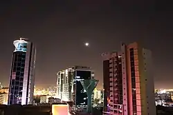
 Al Aaliya Street in Al Mirqab | |
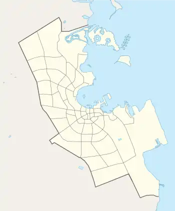
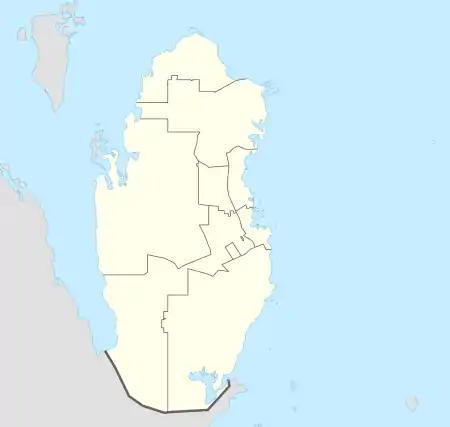
 Al Mirqab  Al Mirqab | |
| Coordinates: 25°17′19″N 51°32′31″E / 25.288642°N 51.541858°E | |
| Country | |
| Municipality | Ad-Dawhah |
| Zone | Zone 18 |
| District no. | 17 |
| Area | |
| • Total | 0.25 km2 (0.10 sq mi) |
| Elevation | 13 m (43 ft) |
Al Mirqab (Arabic: المرقاب; also referred to as Fereej Al Mirqab) is a district in Qatar, located in the municipality of Ad Dawhah.[2][3]
Together with As Salatah, it makes up Zone 18 which has 692 people in it.[2]
Etymology
An Arabic word, mirqab is derived from "muraqabah", which in English translates to "watching". This name was given in reference to a large hill in the area on which people would gather to spot ships out on sea.[3]
Geography
Al Mirqab borders the following districts:[3]
- Al Souq to the west, separated by Jabr Bin Mohammed Street.
- Doha Port to the north, separated by Corniche Street.
- As Salatah to the east, separated by Ali Bin Amur Al Attiyah Street.
- Al Rufaa to the south, separated by Al Mathaf (Museum) Street.
Transport
Currently, the underground Al Mirqab Metro Station is under construction, having been launched during Phase 2C. Once completed, it will be part of Doha Metro's Gold Line.[4]
See also
References
- ↑ "District Area Map". Ministry of Development Planning and Statistics. Retrieved 11 February 2019.
- 1 2 "2015 population census" (PDF). Ministry of Development Planning and Statistics. Archived from the original (PDF) on 14 February 2017. Retrieved 29 December 2018.
- 1 2 3 "District map". The Centre for Geographic Information Systems of Qatar. Archived from the original on 24 November 2020. Retrieved 30 December 2018.
- ↑ "QAR Metro". arcgis.com. Archived from the original on 4 December 2019. Retrieved 18 March 2019.
This article is issued from Wikipedia. The text is licensed under Creative Commons - Attribution - Sharealike. Additional terms may apply for the media files.