Aldeia da Ponte | |
|---|---|
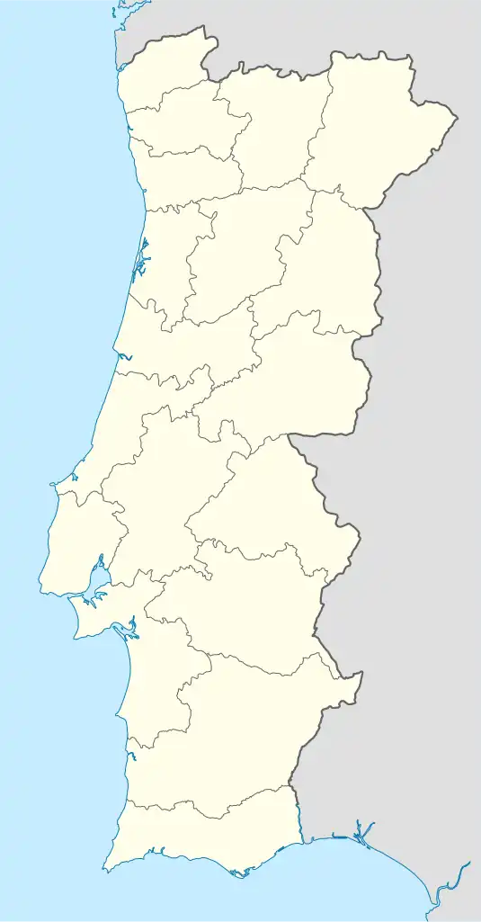 Aldeia da Ponte Location in Portugal | |
| Coordinates: 40°24′47″N 6°52′08″W / 40.413°N 6.869°W | |
| Country | |
| Region | Centro |
| Intermunic. comm. | Beiras e Serra da Estrela |
| District | Guarda |
| Municipality | Sabugal |
| Area | |
| • Total | 36.69 km2 (14.17 sq mi) |
| Population (2011) | |
| • Total | 317 |
| • Density | 8.6/km2 (22/sq mi) |
| Time zone | UTC±00:00 (WET) |
| • Summer (DST) | UTC+01:00 (WEST) |
| Website | www.aldeiadaponte.com |
Aldeia da Ponte is a village in the District of Guarda and part of the Sabugal Municipality, Portugal. The population in 2011 was 317,[1] in an area of 36.69 km².[2]
Geographical situation
Aldeia da Ponte is located in the Beira-Alta area, half way between two cities: Vilar Formoso in the Northeast and Sabugal in Southwest.
The village is crossed by the Cesarâo River (known also under the name of Ribeira of Aldeia), an affluent of the Coâ River which crosses the Beira-Alta area from south to north.
References
- ↑ Instituto Nacional de Estatística
- ↑ "Áreas das freguesias, concelhos, distritos e país". Archived from the original on 2018-11-05. Retrieved 2018-11-05.
External links
This article is issued from Wikipedia. The text is licensed under Creative Commons - Attribution - Sharealike. Additional terms may apply for the media files.