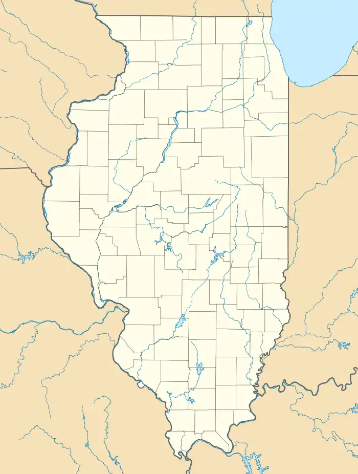
Alden, Illinois | |
|---|---|
 Alden  Alden | |
| Coordinates: 42°27′32″N 88°31′04″W / 42.45889°N 88.51778°W | |
| Country | |
| State | |
| County | McHenry |
| Township | Alden |
| Area | |
| • Total | 0.13 sq mi (0.33 km2) |
| • Land | 0.13 sq mi (0.33 km2) |
| • Water | 0.00 sq mi (0.00 km2) |
| Elevation | 1,004 ft (306 m) |
| Population (2020) | |
| • Total | 113 |
| • Density | 896.83/sq mi (347.31/km2) |
| Time zone | UTC-6 (Central (CST)) |
| • Summer (DST) | UTC-5 (CDT) |
| ZIP Code | 60001[2] |
| Area codes | 815 & 779 |
| FIPS code | 17-00594 |
| GNIS feature ID | 403385[3] |
Alden (/ˈɑːldɪn/ AWL-dihn), elevation 1,004 feet (306 m), is an unincorporated community and census-designated place in McHenry County, Illinois, United States.[3] It was named a CDP for the 2020 census, at which time it had a population of 113.[4]
History
Alden was laid out in 1844, and named after Alden, New York, the native home of a large share of the first settlers.[5] A post office called Alden has been in operation since 1844.[6]
Geography
The community is situated in the heart of Alden Township at the junction of Alden Road (County Highway V-12) and Illinois Route 173. The headwaters of Nippersink Creek originate at the High Point Unit of the McHenry County Conservation District, flowing to the southeast and east. In terms of geographic coordinates, the community is located at 42°27′32″N 88°31′04″W / 42.45889°N 88.51778°W (42.4589075, -88.5178757)[7] In terms of the Public Land Survey System, Alden is located within the Southeast Quarter of Section 15 and the Northeast Quarter of Section 23, Township 46 North, Range 6 East of the Third Principal Meridian.[8] Alden is served by the Harvard, Illinois 60033 post office.
Demographics
| Census | Pop. | Note | %± |
|---|---|---|---|
| 2020 | 113 | — | |
| U.S. Decennial Census[9] 2020[10] | |||
2020 census
| Race / Ethnicity | Pop 2020[10] | % 2020 |
|---|---|---|
| White alone (NH) | 102 | 90.27% |
| Black or African American alone (NH) | 0 | 0.00% |
| Native American or Alaska Native alone (NH) | 0 | 0.00% |
| Asian alone (NH) | 0 | 0.00% |
| Pacific Islander alone (NH) | 0 | 0.00% |
| Some Other Race alone (NH) | 1 | 0.88% |
| Mixed Race/Multi-Racial (NH) | 5 | 4.42% |
| Hispanic or Latino (any race) | 5 | 4.42% |
| Total | 113 | 100.00% |
Points of interest
A small commercial district is located at the highway junction. The Alden Township facility is just south of the community at 8515 Alden Road.[11]
See also
References
- ↑ "2020 U.S. Gazetteer Files". United States Census Bureau. Retrieved March 15, 2022.
- ↑ "UnitedStatesZIPcodes(IL list)". Retrieved January 7, 2023.
- 1 2 "Alden". Geographic Names Information System. United States Geological Survey, United States Department of the Interior.
- ↑ "Alden CDP, Illinois". United States Census Bureau. Retrieved February 23, 2021.
- ↑ Callary, Edward (September 29, 2008). Place Names of Illinois. University of Illinois Press. p. 4. ISBN 978-0-252-09070-7.
- ↑ "McHenry County". Jim Forte Postal History. Retrieved November 7, 2015.
- ↑ Alden, IL, Lat-Long.com. Retrieved on 2009-05-15.
- ↑ McHenry County Department of Planning and Development, McHenry County Base Map Archived 2011-07-19 at the Wayback Machine, 2009-06; McHenry County Division of Transportation, Official Highway Map, 2008; and Nippersink Creek Watershed Planning Committee, Nippersink Creek Watershed Plan
- ↑ "Decennial Census of Population and Housing by Decades". US Census Bureau.
- 1 2 "P2 HISPANIC OR LATINO, AND NOT HISPANIC OR LATINO BY RACE - 2020: DEC Redistricting Data (PL 94-171) - Alden CDP, Illinois". United States Census Bureau.
- ↑ Katherine C. Schultz, County of McHenry Clerk. Yearbook: McHenry County, Illinois, 2009-2010, Retrieved on 2009-05-15.