| Alex Creek Tributary to Altamaha River | |
|---|---|
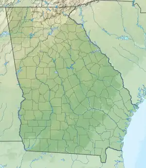 Location of Alex Creek mouth  Alex Creek (Altamaha River tributary) (the United States) | |
| Location | |
| Country | United States |
| State | Georgia |
| County | Wayne |
| Physical characteristics | |
| Source | Little Buffalo Swamp divide |
| • location | about 2 miles south-southeast of Grangerville, Georgia |
| • coordinates | 31°25′33.80″N 081°43′6.40″W / 31.4260556°N 81.7184444°W[1] |
| • elevation | 14 ft (4.3 m)[1] |
| Mouth | Altamaha River |
• location | about 3 miles northeast of Grangerville, Georgia |
• coordinates | 31°30′33.79″N 081°39′31.40″W / 31.5093861°N 81.6587222°W[1] |
• elevation | 13 ft (4.0 m)[1] |
| Length | 7.38 mi (11.88 km)[2] |
| Basin size | 32.03 square miles (83.0 km2)[3] |
| Discharge | |
| • location | Altamaha River |
| • average | 31.78 cu ft/s (0.900 m3/s) at mouth with Altamaha River[3] |
| Basin features | |
| Progression | Altamaha River → Altamaha Sound → Atlantic Ocean |
| River system | Altamaha |
| Tributaries | |
| • right | Bull Branch |
| Bridges | Akin Road, US 25, Akin Road, River Road |
Alex Creek is a stream in the U.S. state of Georgia.[1] It is a tributary to the Altamaha River.[4]
A variant name is "Alecks Creek".[1] Alex Creek was named after "Captain" Alleck, a Lower Creek chieftain.[4]
References
- 1 2 3 4 5 6 "Geographic Names Information System". edits.nationalmap.gov. US Geological Survey. Retrieved 25 October 2022.
- ↑ "ArcGIS Web Application". epa.maps.arcgis.com. US EPA. Retrieved 25 October 2022.
- 1 2 "Alex Creek Watershed Report". watersgeo.epa.gov. US EPA. Retrieved 25 October 2022.
- 1 2 Krakow, Kenneth K. (1975). Georgia Place-Names: Their History and Origins (PDF). Macon, GA: Winship Press. p. 3. ISBN 0-915430-00-2.
This article is issued from Wikipedia. The text is licensed under Creative Commons - Attribution - Sharealike. Additional terms may apply for the media files.