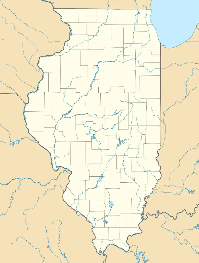
Alhambra, Illinois | |
|---|---|
 Location in Madison County, Illinois | |
 Alhambra  Alhambra  Alhambra | |
| Coordinates: 38°53′19″N 89°43′57″W / 38.88861°N 89.73250°W | |
| Country | United States |
| State | Illinois |
| County | Madison |
| Township | Alhambra |
| Area | |
| • Total | 0.76 sq mi (1.98 km2) |
| • Land | 0.76 sq mi (1.96 km2) |
| • Water | 0.01 sq mi (0.02 km2) |
| Elevation | 558 ft (170 m) |
| Population | |
| • Total | 622 |
| • Density | 822.75/sq mi (317.86/km2) |
| Time zone | UTC-6 (CST) |
| • Summer (DST) | UTC-5 (CDT) |
| ZIP code | 62001 |
| Area code | 618 |
| FIPS code | 17-00737 |
| GNIS feature ID | 2397932[2] |
| Website | villageofalhambra |
Alhambra is a village in Madison County, Illinois, United States. The population was 622 at the 2020 census.[3]
Alhambra is part of the Metro-East region of the St. Louis, MO-IL Metropolitan Statistical Area.
History
Alhambra was laid out in 1849.[4] The name was inspired by Tales of the Alhambra by Washington Irving.[5]
The first cooperative soybean processing unit in Illinois, the Alhambra Grain & Feed Co., was located in the village. It began full production on March 1, 1945.[6]
Geography
Alhambra is located in northeastern Madison County at 38°53′19″N 89°43′57″W / 38.88861°N 89.73250°W (38.888614, -89.732616).[7] Illinois Route 140 passes through the village as Main Street, leading west 6 miles (10 km) to Hamel and east 17 miles (27 km) to Greenville. St. Louis, Missouri, is 36 miles (58 km) to the southwest.
According to the U.S. Census Bureau, Alhambra has a total area of 0.76 square miles (1.97 km2), of which 0.01 square miles (0.03 km2), or 1.05%, are water.[1] The village drains southwest to Silver Creek, a south-flowing tributary of the Kaskaskia River.
Demographics
| Census | Pop. | Note | %± |
|---|---|---|---|
| 1870 | 101 | — | |
| 1880 | 168 | 66.3% | |
| 1900 | 368 | — | |
| 1910 | 433 | 17.7% | |
| 1920 | 354 | −18.2% | |
| 1930 | 355 | 0.3% | |
| 1940 | 375 | 5.6% | |
| 1950 | 476 | 26.9% | |
| 1960 | 537 | 12.8% | |
| 1970 | 594 | 10.6% | |
| 1980 | 643 | 8.2% | |
| 1990 | 709 | 10.3% | |
| 2000 | 630 | −11.1% | |
| 2010 | 681 | 8.1% | |
| 2020 | 622 | −8.7% | |
| U.S. Decennial Census[8] | |||
As of the census[9] of 2000, there were 630 people, 209 households, and 145 families residing in the village. The population density was 834.4 inhabitants per square mile (322.2/km2). There were 216 housing units at an average density of 286.1 per square mile (110.5/km2). The racial makeup of the village was 98.73% White, and 1.27% from two or more races.
There were 209 households, out of which 28.2% had children under the age of 18 living with them, 59.3% were married couples living together, 5.7% had a female householder with no husband present, and 30.6% were non-families. 27.3% of all households were made up of individuals, and 15.8% had someone living alone who was 65 years of age or older. The average household size was 2.37 and the average family size was 2.90.
In the village, the population was spread out, with 17.1% under the age of 18, 6.5% from 18 to 24, 22.9% from 25 to 44, 19.5% from 45 to 64, and 34.0% who were 65 years of age or older. The median age was 48 years. For every 100 females, there were 78.0 males. For every 100 females age 18 and over, there were 70.0 males.
The median income for a household in the village was $36,818, and the median income for a family was $53,214. Males had a median income of $31,484 versus $22,981 for females. The per capita income for the village was $16,124. About 3.1% of families and 4.7% of the population were below the poverty line, including 4.1% of those under age 18 and 10.6% of those age 65 or over.
References
- 1 2 "2022 U.S. Gazetteer Files: Illinois". United States Census Bureau. Retrieved February 14, 2023.
- 1 2 U.S. Geological Survey Geographic Names Information System: Alhambra, Illinois
- 1 2 "P1. Race – Alhambra village, Illinois: 2020 DEC Redistricting Data (PL 94-171)". U.S. Census Bureau. Retrieved February 14, 2023.
- ↑ Norton, William T. (1912). Centennial History of Madison County, Illinois, and Its People, 1812 to 1912. The Lewis Publishing Co. p. 461.
- ↑ Callary, Edward (September 29, 2008). Place Names of Illinois. University of Illinois Press. p. 5. ISBN 978-0-252-09070-7.
- ↑ Soybean Digest, May 1945, p. 14.
- ↑ "US Gazetteer files: 2010, 2000, and 1990". United States Census Bureau. February 12, 2011. Retrieved April 23, 2011.
- ↑ "Census of Population and Housing". Census.gov. Retrieved June 4, 2015.
- ↑ "U.S. Census website". United States Census Bureau. Retrieved January 31, 2008.