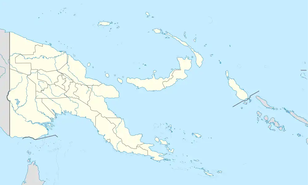
Alotau | |
|---|---|
 Milne Bay, Alotau | |
 Alotau Location within Papua New Guinea | |
| Coordinates: 10°19′S 150°26′E / 10.317°S 150.433°E | |
| Country | Papua New Guinea |
| Province | Milne Bay Province |
| District | Alotau District |
| LLG | Alotau Urban LLG |
| Elevation | 6 m (20 ft) |
| Population (2012) | |
| • Total | 15,939 |
| • Rank | 15th |
| Languages | |
| • Main languages | Tawala, English, Suau, Tok Pisin |
| Time zone | UTC+10 (AEST) |
| Postcode | 211 |
| Location | 365 km (227 mi) ESE of Port Moresby |
| Annual rainfall | 3,108 mm (122.4 in) |
| Climate | Af |
Alotau is the capital of Milne Bay Province, in the south-eastern tip of Papua New Guinea. It is located on the northern shore of Milne Bay and the township is conveniently situated within the Alotau Urban LLG.
Being the capital of the Province, Alotau Town is renowned for hosting revered cultural events such as the National Kenu and Kundu Festival and Huhu War Canoe Festival, boasting some of the Province's cultural heritage and traditional practices. The vibrant streets of the town come alive with an array of different cultures, with each group celebrating their traditions with displays of dancing, singing, music and craftsmanship. The Kenu and Kundu Festival is a celebration of the traditional dug-out canoes of all varieties & the wooden drums and kundu bands used in ceremonies, while the Huhu War Canoe Festival pays homage to the region’s ancient warrior culture. During both festivals, locals dress in unique ceremonial costumes and showcase their skills on their respective instruments. Visitors to Alotau Town can experience a unique blend of cultural practices and witness age-old customs that have been passed down through generations.
The Province's Main Sea Port (Wharf) facility run by PNG Ports Corporation Ltd, is conveniently located within the township and allows for smooth Tourist transits accommodating the likes of P&O and other major tourist vessels that run scheduled visits through the Province. This much welcomed visits usually affords many of the township's local SME's, Operators and Crafts-folk to capitalise on
Its Cathedral of the Sacred Heart of Jesus is the episcopal see of the Roman Catholic Diocese of Alotau–Sideia.
The town is located within the area in which the invading Japanese army suffered their first land defeat in the Pacific War in 1942, before the Kokoda Track battle. A memorial park at the old battle site commemorates the event. Alotau became the provincial capital in 1969, when it was shifted from Samarai.[1]
Transport
There is a road from Ulumani to Alotau which passes the local Gurney Airport, named after squadron leader Charles Raymond Gurney of the Royal Australian Air Force, who was killed in the area in 1942. The airport is located 12 km from the town.
Alotau is the gateway to the Milne Bay Province, which contains some of the most remote island communities in the world. Milne Bay is noted for its coral reef and scuba diving experiences.
Climate
Alotau has a tropical rainforest climate (Köppen Af) with heavy rainfall year-round.
| Climate data for Alotau | |||||||||||||
|---|---|---|---|---|---|---|---|---|---|---|---|---|---|
| Month | Jan | Feb | Mar | Apr | May | Jun | Jul | Aug | Sep | Oct | Nov | Dec | Year |
| Mean daily maximum °C (°F) | 31.2 (88.2) |
31.5 (88.7) |
30.9 (87.6) |
30.1 (86.2) |
29.3 (84.7) |
28.5 (83.3) |
28.0 (82.4) |
28.2 (82.8) |
28.8 (83.8) |
29.5 (85.1) |
30.4 (86.7) |
31.0 (87.8) |
29.8 (85.6) |
| Daily mean °C (°F) | 27.5 (81.5) |
27.6 (81.7) |
27.3 (81.1) |
26.7 (80.1) |
26.2 (79.2) |
25.5 (77.9) |
25.1 (77.2) |
25.1 (77.2) |
25.5 (77.9) |
26.1 (79.0) |
26.7 (80.1) |
27.2 (81.0) |
26.4 (79.5) |
| Mean daily minimum °C (°F) | 23.8 (74.8) |
23.8 (74.8) |
23.8 (74.8) |
23.3 (73.9) |
23.2 (73.8) |
22.6 (72.7) |
22.2 (72.0) |
22.1 (71.8) |
22.3 (72.1) |
22.8 (73.0) |
23.1 (73.6) |
23.5 (74.3) |
23.0 (73.5) |
| Average rainfall mm (inches) | 163 (6.4) |
179 (7.0) |
186 (7.3) |
285 (11.2) |
369 (14.5) |
341 (13.4) |
308 (12.1) |
291 (11.5) |
346 (13.6) |
282 (11.1) |
164 (6.5) |
141 (5.6) |
3,055 (120.2) |
| Source: [2] | |||||||||||||
See also
References
- ↑ "Alotau port" (PDF). PNG ports. Archived from the original (PDF) on 2012-03-08. Retrieved June 6, 2010.
- ↑ "Alotau Climate (Papua New Guinea)". climate-data.org.