| Alpraham | |
|---|---|
 The Travellers Rest | |
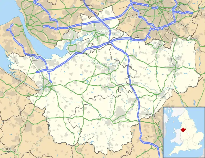
 Alpraham Location within Cheshire | |
| Population | 407 (2011) |
| OS grid reference | SJ584595 |
| Civil parish |
|
| Unitary authority | |
| Ceremonial county | |
| Region | |
| Country | England |
| Sovereign state | United Kingdom |
| Post town | TARPORLEY |
| Postcode district | CW6 |
| Dialling code | 01829 |
| Police | Cheshire |
| Fire | Cheshire |
| Ambulance | North West |
| UK Parliament | |
Alpraham is a village and former civil parish, now in the parish of Alpraham and Calveley,[1] in the Cheshire East district, in the ceremonial county of Cheshire, England. It is on the A51 road between Nantwich and Chester, seven miles north-west of Nantwich. The population is around 400.
The Travellers Rest public house is on the Campaign for Real Ale's National Inventory of Historic Pub Interiors.[2] It was built in about 1850 and extended in 1937, and the interwar interior remains largely unchanged.[3]
Demography
The 2001 Census gave the parish's population as 373,[4] rising to 407 in 162 households in the 2011 Census.[5] The population density was 0.6 persons/hectare in 2011, well below the average of 3.2 persons/hectare for Cheshire East.[5]
History
Alpraham was mentioned in the Domesday book as belonging to Edwin, Earl of Mercia in 1066 and belonging to Gilbert de Venables in 1086 when it had 3 villagers and 6 smallholders.[6] It had 4 ploughlands, 1 men's plough team, 2 acres of meadow and 2 leagues of woodland.[6] In 1086 the value of the manor was just 8 shillings whereas in 1066 it had been 1 pound.[6]
Alpraham was formerly a township in the parish of Bunbury,[7] in 1866 became a civil parish,[8] on 1 April 2023 the parish was abolished and merged with Calveley to form "Alpraham and Calveley".[9]
See also
References
- ↑ "Alpraham and Calveley". Mapit. Retrieved 4 July 2023.
- ↑ Brandwood, Geoff (2013). Britain's best real heritage pubs. St. Albans: CAMRA. p. 22. ISBN 9781852493042.
- ↑ heritagepubs.org.uk: Historic Pub Interiors, accessdate: 17/08/2014
- ↑ 2001 Census: Alpraham CP, Office for National Statistics, retrieved 14 July 2008
- 1 2 "Area: Alpraham (Parish): Key Figures for 2011 Census: Key Statistics", Neighbourhood Statistics, Office for National Statistics, retrieved 14 October 2016
- 1 2 3 "Alpraham | Domesday Book". opendomesday.org. Retrieved 17 September 2021.
- ↑ "History of Alpraham, in Crewe and Nantwich and Cheshire". A Vision of Britain through Time. Retrieved 4 July 2023.
- ↑ "Relationships and changes Alpraham CP/Tn through time". A Vision of Britain through Time. Retrieved 4 July 2023.
- ↑ "Cheshire East Registration District". UKBMD. Retrieved 9 October 2023.
External links