Amayapur | |
|---|---|
Village | |
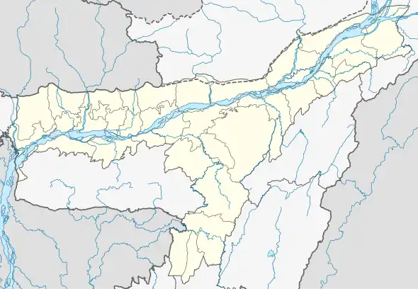 Amayapur Map of Assam  Amayapur Amayapur (India) | |
| Coordinates: 26°24′11″N 91°27′37″E / 26.4031°N 91.4604°E | |
| Country | |
| State | Assam |
| District | Nalbari |
| Subdivision | Nalbari |
| Gram Panchayat | Pub Bahjani |
| Area | |
| • Total | 149.54 ha (369.52 acres) |
| Population (2011) | |
| • Total | 1,463 |
| • Density | 980/km2 (2,500/sq mi) |
| Languages | |
| • Official | Assamese |
| Time zone | UTC+5:30 (IST) |
| Postal code | 781367[1] |
| STD Code | 03624 |
| Vehicle registration | AS-14 |
| Census code | 303966 |
Amayapur is a census village in the Nalbari district, Assam, India.[2] According to the 2011 Census of India, Amayapur has a total population of 1,463, with 751 males and 712 females, and a literacy rate of 84.76%.[3]
References
- ↑ "AMAYAPUR Pin Code". news.abplive.com. Retrieved 13 August 2022.
- ↑ Debi, Renu (1994). Women of Assam. New Delhi: Omsons Publications. p. 150. ISBN 978-81-7117-136-1.
- ↑ "POPULATION BREAKUP AS PER CENSUS-2011" (PDF). Government of Assam | Nalbari District. Archived (PDF) from the original on 3 July 2022. Retrieved 18 July 2022.
This article is issued from Wikipedia. The text is licensed under Creative Commons - Attribution - Sharealike. Additional terms may apply for the media files.