| Amisk River | |
|---|---|
 The Amisk River south of Lac La Biche, Alberta | |
| Location | |
| Country | Canada |
| Province | Alberta |
| Physical characteristics | |
| Source | |
| • location | Amisk Lake |
| • coordinates | 54°37′32″N 112°36′37″W / 54.62556°N 112.61028°W |
| • elevation | 615 m (2,018 ft) |
| Mouth | |
• location | Beaver River |
• coordinates | 54°27′50″N 111°46′15″W / 54.46389°N 111.77083°W |
• elevation | 543 m (1,781 ft) |
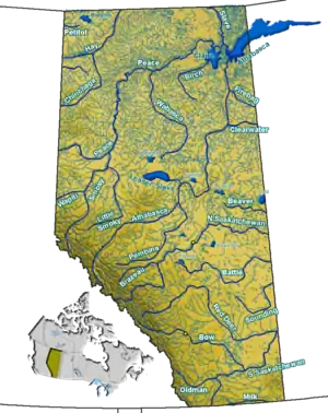
Amisk River is a river in east-central Alberta located in the basin of the Beaver River. The Amisk River forms at Amisk Lake and travels in a south-east direction, flowing through the Buffalo Lake and Kikino Metis settlements before being bridged by Highway 36. It joins the Beaver River near Alberta Secondary Highway 866. The Beaver River is a major tributary of the Churchill River, which flows east into Hudson Bay.
Tributaries
- Little Beaver Lake
- Cordwood Lake
- Whitefish Creek
- Drink Lake
See also
References
- ↑ Harrison, Tracey. Place Names of Alberta, Volume III: Central Alberta, (Calgary: University of Calgary, 1994), 5.
This article is issued from Wikipedia. The text is licensed under Creative Commons - Attribution - Sharealike. Additional terms may apply for the media files.
