Anadiou
Αναδιού Anadhiou | |
|---|---|
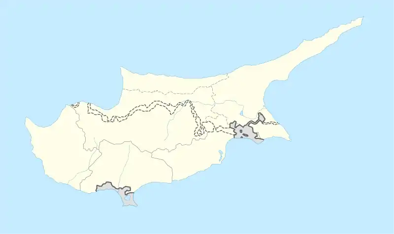 Anadiou Location in Cyprus | |
| Coordinates: 34°56′41″N 32°33′56″E / 34.94472°N 32.56556°E | |
| Country | |
| District | Paphos District |
| Elevation | 1,667 ft (508 m) |
| Population (2001)[1] | |
| • Total | 6 |
| Time zone | UTC+2 (EET) |
| • Summer (DST) | UTC+3 (EEST) |
| Postal code | 6311 |
Anadiou (Greek: Αναδιού, Turkish: Görmeli), sometimes Anadhiou, is a largely deserted Turkish Cypriot village in the Paphos District of Cyprus, located 3 kilometres northeast of Fyti, and located 79 kilometres southwest of the capital Nicosia. After 2006, people started moving into the village again.

Anadiou within the Paphos District
References
https://cypriot-villages.uk/anadiou-village/

This article is issued from Wikipedia. The text is licensed under Creative Commons - Attribution - Sharealike. Additional terms may apply for the media files.